1949 Map of Gooding Butte
USGS Topo · Published 1962About this map
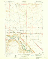
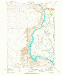
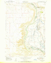
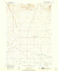
Gooding Butte stands as a prominent volcanic landmark overlooking the intricate water management systems of southern Idaho in the late 1940s. The landscape is defined by the convergence of the Big Wood River and Little Wood River, which feed into the deep canyon of the Malad River. This 1949 survey illustrates the vital infrastructure of the era, including the Gooding Main Canal and the South Gooding Main Canal, highlighting the region's transition into a highly engineered agricultural hub.
Find a feature on this map
18 named features on this map. Tap any name to fly to it.
Don’t see what you’re looking for? This feature index may not catch every label — zoom into the map to look around manually.
Map Details
Editions of this 1949 Gooding Butte Map
This is the sole edition of this map. No revisions or reprints were ever made.
Other maps of this area
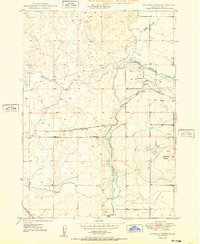
1949 · Bliss
USGS Topo · 1:24,000
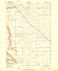
1949 · Tuttle
USGS Topo · 1:24,000
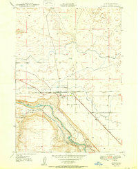
1949 · Hagerman
USGS Topo · 1:24,000
1950 · Gooding Butte
USGS Topo · 1:24,000
1950 · Hagerman
USGS Topo · 1:24,000
1950 · Bliss
USGS Topo · 1:24,000
1951 · Tuttle
USGS Topo · 1:24,000

1955 · Twin Falls
USGS Topo · 1:250,000

1955 · Hailey
USGS Topo · 1:250,000
1957 · Thorn Creek SW
USGS Topo · 1:24,000