
1949 Map of Hagerman
USGS Topo · Published 1968About this map
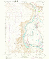
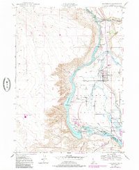
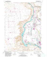
Snake River hydroelectric development and agricultural irrigation define the landscape of the Hagerman Valley in this mid-century survey. The town of Hagerman sits at the center of a complex network of man-made waterways, including the Main Canal, Big Bend Ditch, and Brailsford Ditch, which redirect water from the Big Wood River and Billingsley Creek to the surrounding plains. The canyon floor shows significant industrial infrastructure, from the Lower Salmon Falls Power Plant to the Idaho State Fish Hatchery and Game Reserve near Upper Salmon Falls. The map also captures several islands within the river system, such as Millet Island and Gridley Island, and notes the location of the Bell Rapids (Submerged), reflecting the changing hydrology of the Snake River as it was harnessed for power and farming.
Find a feature on this map
53 named features on this map. Tap any name to fly to it.
Don’t see what you’re looking for? This feature index may not catch every label — zoom into the map to look around manually.
Map Details
Editions of this 1949 Hagerman Map
4 editions found
Other maps of this area

1948 · Ticeska
USGS Topo · 1:24,000

1949 · Ticeska
USGS Topo · 1:24,000

1949 · Pasadena Valley
USGS Topo · 1:62,500

1949 · Bliss
USGS Topo · 1:24,000

1949 · Thousand Springs
USGS Topo · 1:24,000

1949 · Gooding Butte
USGS Topo · 1:24,000

1949 · Tuttle
USGS Topo · 1:24,000

1949 · Indian Butte
USGS Topo · 1:24,000

1950 · Gooding Butte
USGS Topo · 1:24,000

1950 · Hagerman
USGS Topo · 1:24,000