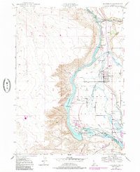
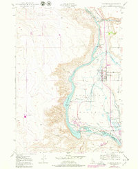
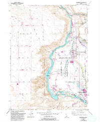
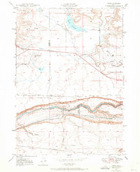
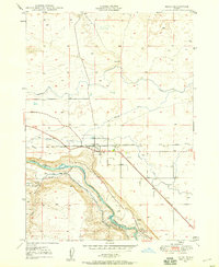
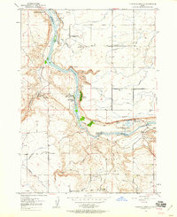
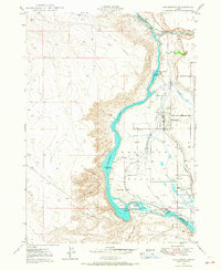
1949 Map of Hagerman
USGS Topo · Published 1986About this map
Hagerman sits on the eastern edge of the Hagerman Valley, where the high desert plateau drops dramatically toward the Snake River. This mid-century landscape is defined by the heavy infrastructure of early water management and hydroelectric power, including the Lower Salmon Falls and Upper Salmon Falls power plants. The river's character is marked by transition, showing the Bell Rapids (Submerged) and numerous named river islands like Millet Island and Dolman Island.
Find a feature on this map
33 named features on this map. Tap any name to fly to it.
Don’t see what you’re looking for? This feature index may not catch every label — zoom into the map to look around manually.
Map Details
Editions of this 1949 Hagerman Map
4 editions found
Other maps of this area
1948 · Ticeska
USGS Topo · 1:24,000

1949 · Ticeska
USGS Topo · 1:24,000

1949 · Pasadena Valley
USGS Topo · 1:62,500
1949 · Bliss
USGS Topo · 1:24,000
1949 · Thousand Springs
USGS Topo · 1:24,000
1949 · Gooding Butte
USGS Topo · 1:24,000
1949 · Tuttle
USGS Topo · 1:24,000
1949 · Hagerman
USGS Topo · 1:24,000
1949 · Indian Butte
USGS Topo · 1:24,000
1950 · Gooding Butte
USGS Topo · 1:24,000