
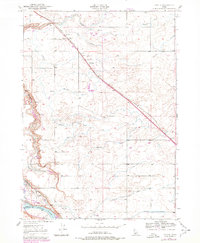
1949 Map of Tuttle
USGS Topo · Published 1968About this map
Tuttle and the surrounding irrigation districts define this 1949 Idaho landscape, where the Union Pacific railroad cuts a diagonal line toward the Big Wood River. The map reveals a complex water management system featuring the Vader Ditch and numerous unnamed irrigation ditches that supported the region's agricultural development. Along the western bluffs, steep descents are marked by the Johnson Grade, Tucker Grade, and Vader Grade, leading down toward the Snake River corridor.
Find a feature on this map
22 named features on this map. Tap any name to fly to it.
Don’t see what you’re looking for? This feature index may not catch every label — zoom into the map to look around manually.
Map Details
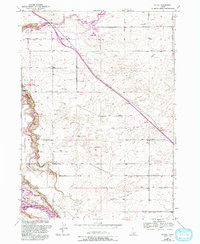
Editions of this 1949 Tuttle Map
3 editions found
Other maps of this area

1949 · Bliss
USGS Topo · 1:24,000

1949 · Thousand Springs
USGS Topo · 1:24,000

1949 · Gooding Butte
USGS Topo · 1:24,000

1949 · Hagerman
USGS Topo · 1:24,000

1950 · Gooding Butte
USGS Topo · 1:24,000

1950 · Hagerman
USGS Topo · 1:24,000

1950 · Bliss
USGS Topo · 1:24,000

1950 · Niagara Springs
USGS Topo · 1:24,000

1950 · Jerome
USGS Topo · 1:62,500

1951 · Thousand Springs
USGS Topo · 1:24,000