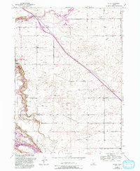
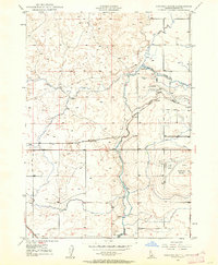
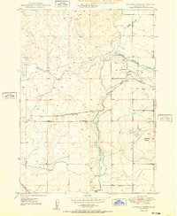
1949 Map of Tuttle
USGS Topo · Published 1993About this map
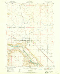
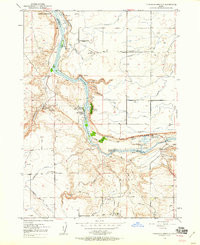
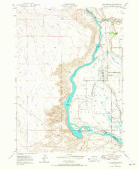
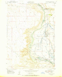
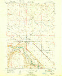
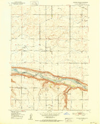
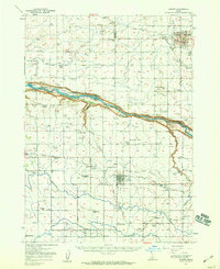
The Malad River carves a dramatic path through the canyonlands of Malad Gorge State Park before reaching the floor of the Hagerman Valley. This landscape is defined by its water resources, featuring a complex infrastructure of penstocks, a Powerhouse, and a Diversion Dam that utilize the sheer drop of the gorge. On the valley floor, the small settlement of Tuttle sits near the irrigation networks that support local agriculture, while the Hagerman National Fish Hatchery and Hagerman State Wildlife Management Area utilize the constant flow from Tucker Springs and other natural outlets.
Find a feature on this map
25 named features on this map. Tap any name to fly to it.
Don’t see what you’re looking for? This feature index may not catch every label — zoom into the map to look around manually.
Map Details
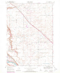
Editions of this 1949 Tuttle Map
3 editions found
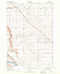
Other maps of this area
1949 · Bliss
USGS Topo · 1:24,000
1949 · Thousand Springs
USGS Topo · 1:24,000
1949 · Gooding Butte
USGS Topo · 1:24,000
1949 · Tuttle
USGS Topo · 1:24,000
1949 · Hagerman
USGS Topo · 1:24,000
1950 · Gooding Butte
USGS Topo · 1:24,000
1950 · Hagerman
USGS Topo · 1:24,000
1950 · Bliss
USGS Topo · 1:24,000
1950 · Niagara Springs
USGS Topo · 1:24,000
1950 · Jerome
USGS Topo · 1:62,500