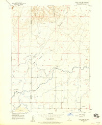
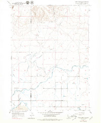
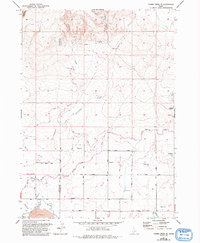
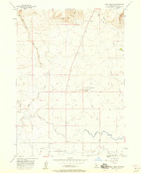
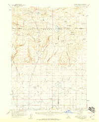
1957 Map of Thorn Creek SE
USGS Topo · Published 1958About this map
The Big Wood River carves through the southern portion of this landscape along the border of Gooding Co and Lincoln Co. This mid-century survey documents a complex network of hydraulic engineering essential to Idaho's high desert agriculture. A massive series of waterways, including the Milner Gooding Canal, High Line Canal, and Robertson Ditch, distribute water from a diversion dam across the terrain. These man-made features contrast with natural drainage patterns like Portuguese Creek and Preacher Creek that flow from the north. Settlement is sparse, anchored by the Thorn Creek Sch and several reservoirs, while the southernmost reach is marked by an expanse of lava, indicating the volcanic geology underlying the irrigation projects.
Find a feature on this map
17 named features on this map. Tap any name to fly to it.
Don’t see what you’re looking for? This feature index may not catch every label — zoom into the map to look around manually.
Map Details
Editions of this 1957 Thorn Creek SE Map
3 editions found
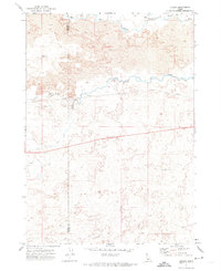
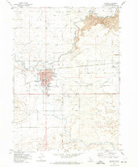
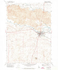
Other maps of this area

1955 · Twin Falls
USGS Topo · 1:250,000

1955 · Hailey
USGS Topo · 1:250,000
1957 · Thorn Creek SW
USGS Topo · 1:24,000
1957 · Thorn Creek
USGS Topo · 1:62,500

1958 · Twin Falls
USGS Topo · 1:250,000

1959 · Hailey
USGS Topo · 1:250,000

1962 · Hailey
USGS Topo · 1:250,000
1971 · Tunupa
USGS Topo · 1:24,000
1971 · Gooding
USGS Topo · 1:24,000
1971 · Shoshone
USGS Topo · 1:24,000