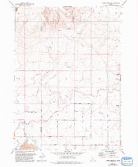
1957 Map of Thorn Creek SE
USGS Topo · Published 1992About this map
Hydrological infrastructure dominates this landscape along the border of Gooding and Lincoln counties, where the high desert meets a complex network of man-made irrigation. The Milner Gooding Canal and High Line Canal traverse the center of the map, utilizing siphons and flumes to manage the flow of water across the arid terrain. These engineering works represent the mid-century transformation of the region into productive agricultural land, supported by features like the Diversion Dam and the Main Canal near the southern boundary.
Find a feature on this map
27 named features on this map. Tap any name to fly to it.
Don’t see what you’re looking for? This feature index may not catch every label — zoom into the map to look around manually.
Map Details
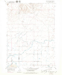
Editions of this 1957 Thorn Creek SE Map
3 editions found
Other maps of this area

1955 · Twin Falls
USGS Topo · 1:250,000

1955 · Hailey
USGS Topo · 1:250,000

1957 · Thorn Creek SE
USGS Topo · 1:24,000

1957 · Thorn Creek SW
USGS Topo · 1:24,000

1957 · Thorn Creek
USGS Topo · 1:62,500

1958 · Twin Falls
USGS Topo · 1:250,000

1959 · Hailey
USGS Topo · 1:250,000

1962 · Hailey
USGS Topo · 1:250,000

1971 · Tunupa
USGS Topo · 1:24,000
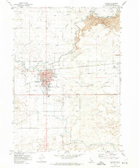
1971 · Gooding
USGS Topo · 1:24,000