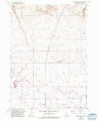
1957 Map of Thorn Creek SW
USGS Topo · Published 1992About this map
Little City of Rocks dominates the northern landscape of this Gooding County survey, where complex geological formations transition into a network of managed water systems. The elevation drops from these high rocky outcrops toward the south, where the North Gooding Main Canal and Lateral Ditch reflect the region's agricultural irrigation infrastructure. Along the western edge, the Dog Creek Reservoir is a prominent feature, complete with a Boat Ramp and nearby Powerplant fed by a Penstock. The terrain is deeply incised by drainages such as Willow Creek, Black Canyon Creek, and Thorn Creek, while local landmarks like Turkey Head Butte and Turkey Lake provide distinct orientation points. A sparse network of 4WD trails and local thoroughfares like Robertson South Road connect the scattered water resources and survey benchmarks across this High Desert environment.
Find a feature on this map
29 named features on this map. Tap any name to fly to it.
Don’t see what you’re looking for? This feature index may not catch every label — zoom into the map to look around manually.
Map Details
Editions of this 1957 Thorn Creek SW Map
3 editions found
Other maps of this area

1949 · Gooding Butte
USGS Topo · 1:24,000

1950 · Gooding Butte
USGS Topo · 1:24,000

1955 · Twin Falls
USGS Topo · 1:250,000

1955 · Hailey
USGS Topo · 1:250,000

1957 · Thorn Creek SE
USGS Topo · 1:24,000

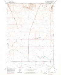
1957 · Thorn Creek SW
USGS Topo · 1:24,000

1957 · Thorn Creek
USGS Topo · 1:62,500

1957 · Davis Mountain
USGS Topo · 1:62,500

1958 · Twin Falls
USGS Topo · 1:250,000

1959 · Hailey
USGS Topo · 1:250,000