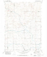
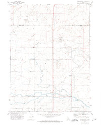
1971 Map of Gooding SE
USGS Topo · Published 1974About this map
The agricultural development of southern Idaho's high desert is etched into the landscape of this 1971 survey. Spanning the borders of Gooding, Lincoln, and Jerome Counties, the area is defined by a sophisticated water management network designed to reclaim the arid soil. A primary Canal system feeds into numerous Lateral branches, controlled by infrastructure such as a Diversion Dam and a Siphon. These features illustrate the mid-century expansion of irrigation that transformed this region's economy.
Find a feature on this map
9 named features on this map. Tap any name to fly to it.
Don’t see what you’re looking for? This feature index may not catch every label — zoom into the map to look around manually.
Map Details
Editions of this 1971 Gooding SE Map
2 editions found
Other maps of this area

1950 · Niagara Springs
USGS Topo · 1:24,000

1950 · Jerome
USGS Topo · 1:24,000

1950 · Jerome
USGS Topo · 1:62,500

1955 · Twin Falls
USGS Topo · 1:250,000

1958 · Twin Falls
USGS Topo · 1:250,000

1964 · Falls City
USGS Topo · 1:24,000
1971 · Wendell
USGS Topo · 1:24,000

1971 · Tunupa
USGS Topo · 1:24,000
1971 · Gooding
USGS Topo · 1:24,000
1971 · Shoshone SW
USGS Topo · 1:24,000