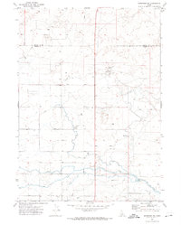
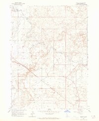
1971 Map of Shoshone SW
USGS Topo · Published 1974About this map
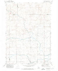
The irrigation landscape of south-central Idaho is documented here at the start of the 1970s, defined by the border between Lincoln Co and Jerome Co. This high desert terrain is heavily modified by an extensive water management network, featuring the prominent North Side Main Canal and a complex system of smaller canals, ditches, and a Siphon. The infrastructure supporting this agricultural effort includes a Diversion Dam, a Pumping Station, and the Midpoint Substation. Outside of the small settlement area at Lincoln, the landscape is sparsely populated, with the Bacon Reservoir Ranch standing as a primary named property in the region. Utility corridors like a prominent Pipeline and a Radio Tower further illustrate the mid-century industrialization of this rural Idaho corridor.
Find a feature on this map
14 named features on this map. Tap any name to fly to it.
Don’t see what you’re looking for? This feature index may not catch every label — zoom into the map to look around manually.
Map Details
Editions of this 1971 Shoshone SW Map
2 editions found

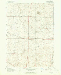
Other maps of this area
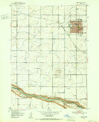
1950 · Jerome
USGS Topo · 1:24,000
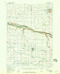
1950 · Jerome
USGS Topo · 1:62,500

1955 · Twin Falls
USGS Topo · 1:250,000

1958 · Twin Falls
USGS Topo · 1:250,000
1964 · Falls City
USGS Topo · 1:24,000
1964 · Perrine
USGS Topo · 1:24,000
1971 · Shoshone SE
USGS Topo · 1:24,000
1971 · Dietrich
USGS Topo · 1:24,000
1971 · Tunupa
USGS Topo · 1:24,000
1971 · Gooding SE
USGS Topo · 1:24,000