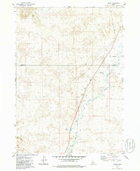
1979 Map of Tikura
USGS Topo · Published 1986About this map
The Little Wood River and Silver Creek dominate this central Idaho landscape, cutting through an area characterized by scattered Lava flows and the southern slopes of the Picabo Hills. The Union Pacific railroad corridor serves as the primary infrastructure axis, passing through the small settlements of Tikura, Gura, and Alta. Evidence of the region's transport history and rural development is found in locations like the Halfway House and the Pagari Bridge, which spans the river south of the small locality of Rio. This 1970s survey captures a transition point between the higher elevations to the north and the flatter basalt-strewn plains below, showing a network of ranching-era infrastructure, including a Landing Strip and numerous Borrow Pits and Gravel Pits used for local road and rail maintenance.
Find a feature on this map
19 named features on this map. Tap any name to fly to it.
Don’t see what you’re looking for? This feature index may not catch every label — zoom into the map to look around manually.
Map Details
Editions of this 1979 Tikura Map
2 editions found
Other maps of this area

1955 · Idaho Falls
USGS Topo · 1:250,000

1955 · Hailey
USGS Topo · 1:250,000

1958 · Idaho Falls
USGS Topo · 1:250,000

1959 · Hailey
USGS Topo · 1:250,000

1962 · Hailey
USGS Topo · 1:250,000

1978 · Craters Of The Moon
USGS Topo · 1:100,000
1979 · Richfield
USGS Topo · 1:24,000
1979 · Black Ridge Crater
USGS Topo · 1:24,000
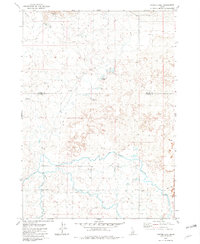
1979 · Tapper Lake
USGS Topo · 1:24,000
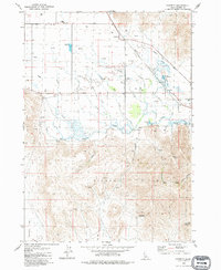
1979 · Gannett
USGS Topo · 1:24,000