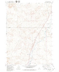
1979 Map of Tikura
USGS Topo · Published 1979About this map
The Union Pacific railroad line serves as a central spine through this high desert corridor on the border of Blaine and Lincoln counties. The settlement at Tikura and the isolated Halfway House reflect the sparse, infrastructure-dependent nature of this landscape in the late 1970s. Water remains the primary shaper of human activity here, with the Little Wood River and Silver Creek cutting through terrain marked by ancient Lava flows. In the northwest, the Picabo Hills rise above Ditch Spring, while the presence of a Landing Strip and the Pagari Bridge indicates the importance of transportation links in connecting these remote ranching and transit points. The map also records several industrial sites, including a Gravel Pit and multiple Borrow Pits, which trace the maintenance of the local transit and rail network.
Find a feature on this map
13 named features on this map. Tap any name to fly to it.
Don’t see what you’re looking for? This feature index may not catch every label — zoom into the map to look around manually.
Map Details
Editions of this 1979 Tikura Map
2 editions found
Other maps of this area

1955 · Idaho Falls
USGS Topo · 1:250,000

1955 · Hailey
USGS Topo · 1:250,000

1958 · Idaho Falls
USGS Topo · 1:250,000

1959 · Hailey
USGS Topo · 1:250,000

1962 · Hailey
USGS Topo · 1:250,000

1978 · Craters Of The Moon
USGS Topo · 1:100,000
1979 · Richfield
USGS Topo · 1:24,000
1979 · Black Ridge Crater
USGS Topo · 1:24,000
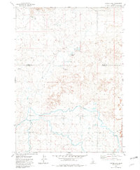
1979 · Tapper Lake
USGS Topo · 1:24,000
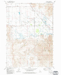
1979 · Gannett
USGS Topo · 1:24,000