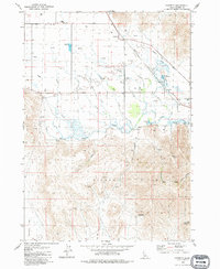
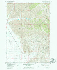
1979 Map of Gannett
USGS Topo · Published 1979About this map
Gannett sits at the intersection of a high-desert valley and the rising slopes of the Picabo Hills, where water management defines the landscape. The Union Pacific railroad corridor cuts through the territory, paralleled by a network of irrigation works like the Stanfield Ditch and Highline Ditch that feed the local agriculture. The presence of the Hayspur Fish Hatchery near Butte Creek highlights the specialized use of the area's abundant springs, such as Pasco Spring and Arrowhead Spring, which emerge from the surrounding canyons.
Find a feature on this map
42 named features on this map. Tap any name to fly to it.
Don’t see what you’re looking for? This feature index may not catch every label — zoom into the map to look around manually.
Map Details
Editions of this 1979 Gannett Map
This is the sole edition of this map. No revisions or reprints were ever made.
Other maps of this area

1955 · Hailey
USGS Topo · 1:250,000

1957 · Bellevue
USGS Topo · 1:62,500

1957 · Bellevue
USGS Topo · 1:24,000

1959 · Hailey
USGS Topo · 1:250,000

1962 · Hailey
USGS Topo · 1:250,000

1979 · Shoshone Ice Cave
USGS Topo · 1:24,000
1979 · Tapper Lake
USGS Topo · 1:24,000
1979 · Little Wood River Reservoir
USGS Topo · 1:24,000
1979 · Tikura
USGS Topo · 1:24,000
1979 · Seamans Creek
USGS Topo · 1:24,000