
1979 Map of Shoshone Ice Cave
USGS Topo · Published 1979About this map
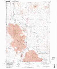
Lava flows dominate this Idaho landscape at the intersection of Camas, Blaine, and Lincoln counties. The geological character of the region is defined by volcanic features like Black Butte Crater and the notable Shoshone Ice Cave, which sits alongside several other subterranean caves. This arid environment was heavily modified for agricultural use during the late twentieth century, as evidenced by a complex irrigation network including the Bypass Canal, Richfield Canal, and a prominent Siphon. The Union Pacific railroad corridor cuts across the terrain, passing through the small settlement of Burmah in the southeast. Water management is central to the area's development, with the Big Wood River feeding a series of named impoundments such as Magic Reservoir, Trestle Reservoir, and Culvert Reservoir. The map reveals the infrastructure required to sustain life and transport in this distinct basalt-strewn territory.
Find a feature on this map
29 named features on this map. Tap any name to fly to it.
Don’t see what you’re looking for? This feature index may not catch every label — zoom into the map to look around manually.
Map Details
Editions of this 1979 Shoshone Ice Cave Map
2 editions found
Other maps of this area

1955 · Hailey
USGS Topo · 1:250,000

1957 · Bellevue
USGS Topo · 1:62,500

1959 · Hailey
USGS Topo · 1:250,000

1962 · Hailey
USGS Topo · 1:250,000
1979 · Richfield
USGS Topo · 1:24,000
1979 · Tapper Lake
USGS Topo · 1:24,000
1979 · Gannett
USGS Topo · 1:24,000
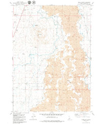
1979 · Kinzie Butte
USGS Topo · 1:24,000

1979 · Summit Reservoir
USGS Topo · 1:24,000
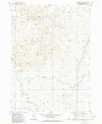
1979 · Mammoth Cave
USGS Topo · 1:24,000