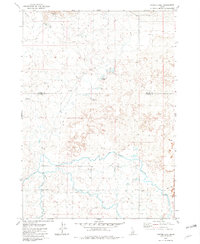
1979 Map of Tapper Lake
USGS Topo · Published 1979About this map
Jim Byrns Slough winds across this landscape on the boundary of Blaine and Lincoln counties, illustrating the critical role of water management in this arid Idaho environment. The presence of the Richfield Canal, Main Canal, and West Main Canal highlights the extensive irrigation infrastructure developed to support agricultural activity. Small, intermittent water bodies like Tapper Lake, Mud Lake, and Sagebrush Spring dot the terrain, while the Johnson Reservoir and Unique Reservoir provide additional storage for the region's seasonal runoff.
Find a feature on this map
13 named features on this map. Tap any name to fly to it.
Don’t see what you’re looking for? This feature index may not catch every label — zoom into the map to look around manually.
Map Details
Editions of this 1979 Tapper Lake Map
This is the sole edition of this map. No revisions or reprints were ever made.
Other maps of this area

1955 · Hailey
USGS Topo · 1:250,000

1957 · Bellevue
USGS Topo · 1:62,500

1959 · Hailey
USGS Topo · 1:250,000

1962 · Hailey
USGS Topo · 1:250,000
1979 · Richfield
USGS Topo · 1:24,000

1979 · Shoshone Ice Cave
USGS Topo · 1:24,000
1979 · Gannett
USGS Topo · 1:24,000
1979 · Kinzie Butte
USGS Topo · 1:24,000
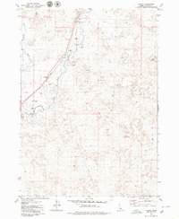
1979 · Pagari
USGS Topo · 1:24,000
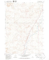
1979 · Tikura
USGS Topo · 1:24,000