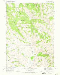
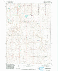
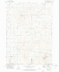
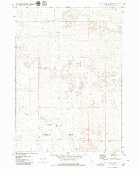
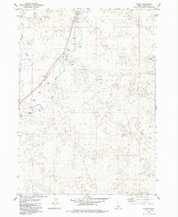
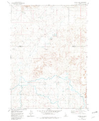
1970 Map of Giraffe Creek
USGS Topo · Published 1973This historical map portrays the area of Giraffe Creek in 1970, primarily covering Lincoln County as well as portions of Lincoln County and Wyoming. Featuring a scale of 1:24000, this map provides a highly detailed snapshot of the terrain, roads, buildings, counties, and historical landmarks in the Giraffe Creek region at the time. Published in 1973, it is the sole known edition of this map.
Find a feature on this map
33 named features on this map. Tap any name to fly to it.
Don’t see what you’re looking for? This feature index may not catch every label — zoom into the map to look around manually.
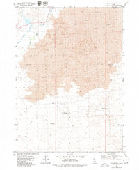
Map Details
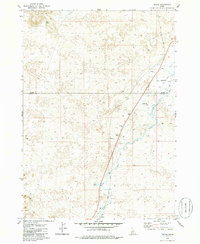
Editions of this 1970 Giraffe Creek Map
This is the sole edition of this map. No revisions or reprints were ever made.
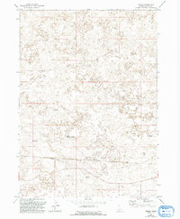
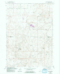
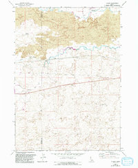
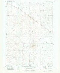
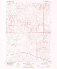
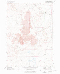
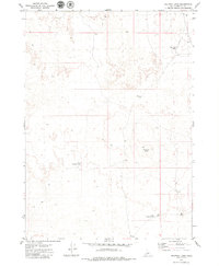
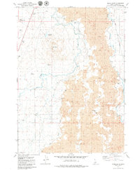
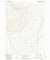
Historical Maps of Lincoln County Through Time
45 maps found
1915 Crow Creek
Lincoln County, ID
1957 Thorn Creek SE
Lincoln County, ID
1970 Giraffe Creek
Lincoln County, ID
1971 Dietrich Butte
Lincoln County, ID
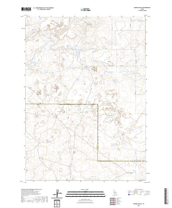
1971 Owinza Butte
Lincoln County, ID
1971 Owinza
Lincoln County, ID
1971 Star Lake
Lincoln County, ID
1971 Tunupa
Lincoln County, ID
1972 Kimama Butte
Lincoln County, ID
1972 Kimama
Lincoln County, ID
1972 Senter
Lincoln County, ID
1972 Shale Butte
Lincoln County, ID
1979 Black Ridge Crater
Lincoln County, ID
1979 Halfway Lake
Lincoln County, ID
1979 Kinzie Butte
Lincoln County, ID
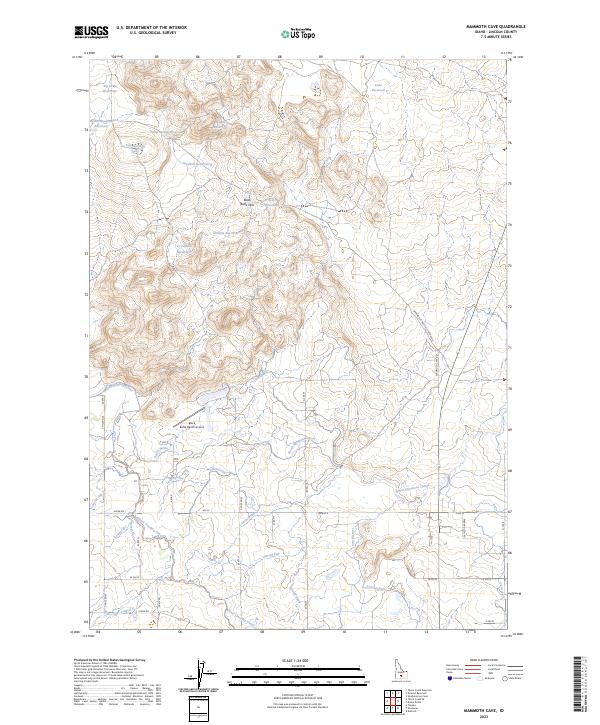
1979 Mammoth Cave
Lincoln County, ID
1979 Pagari
Lincoln County, ID
1979 Pagari Well
Lincoln County, ID
1979 Shoshone Ice Cave
Lincoln County, ID
1979 Summit Reservoir
Lincoln County, ID
1979 Tapper Lake
Lincoln County, ID
1979 Tikura
Lincoln County, ID
1979 Wagon Butte
Lincoln County, ID
1996 Canuck Peak
Lincoln County, ID
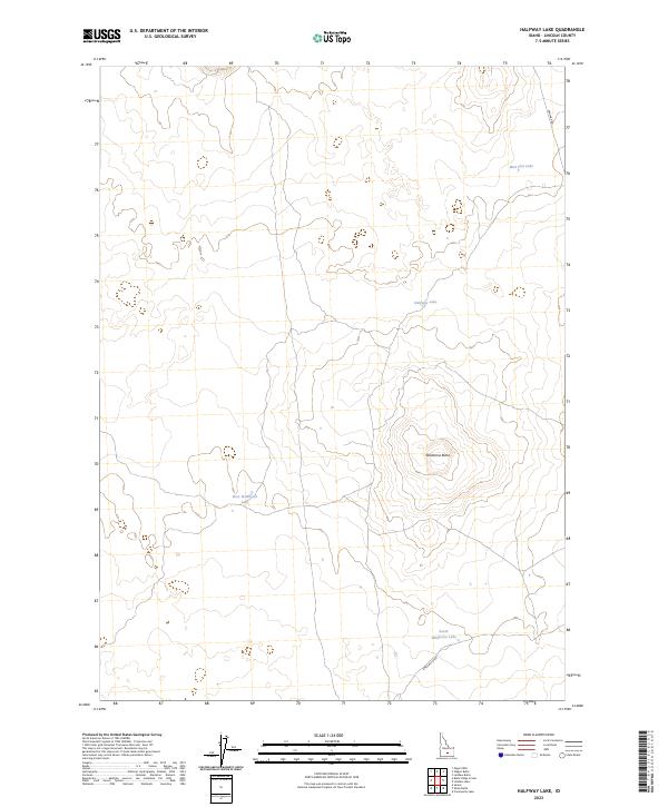
2023 Halfway Lake
Lincoln County, ID
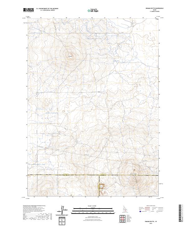
2023 Kimama Butte
Lincoln County, ID
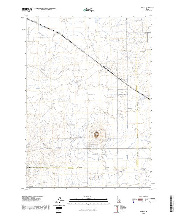
2023 Kimama
Lincoln County, ID
2023 Mammoth Cave
Lincoln County, ID
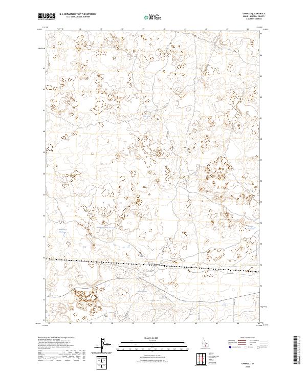
2023 Owinza
Lincoln County, ID
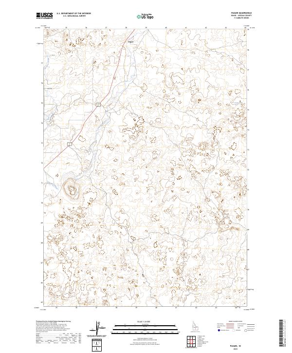
2023 Pagari
Lincoln County, ID
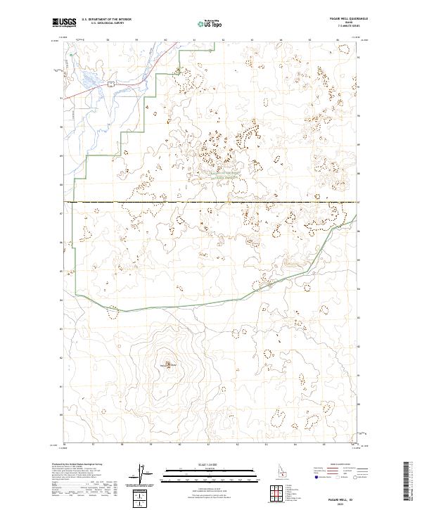
2023 Pagari Well
Lincoln County, ID
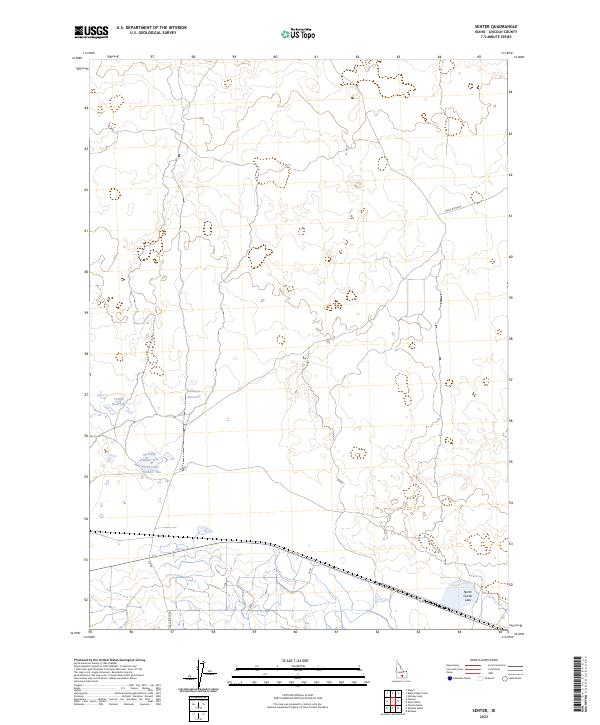
2023 Senter
Lincoln County, ID
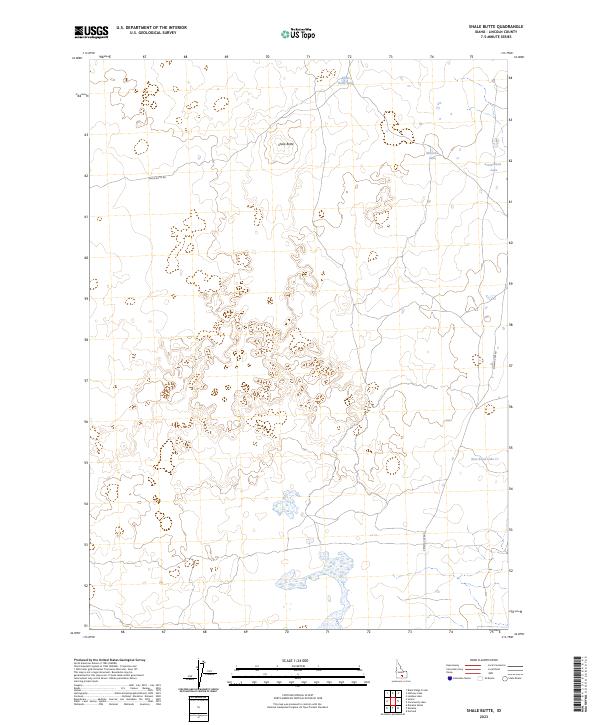
2023 Shale Butte
Lincoln County, ID
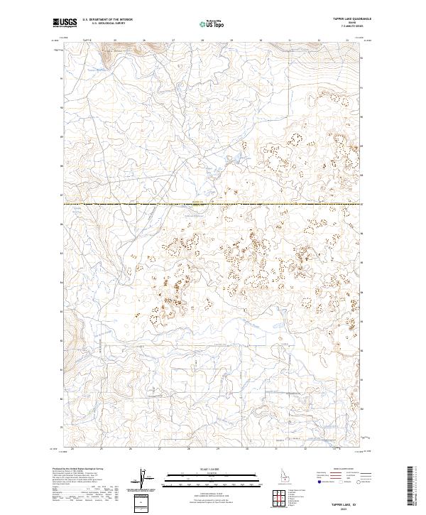
2023 Tapper Lake
Lincoln County, ID
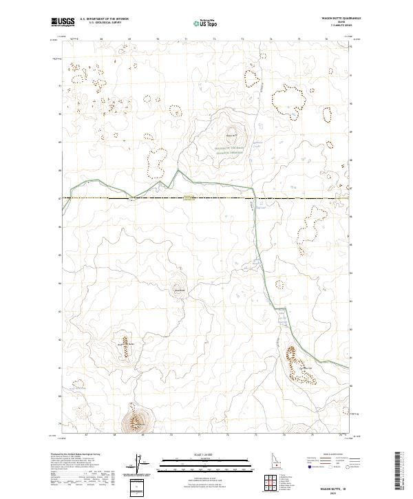
2023 Wagon Butte
Lincoln County, ID

2024 Black Ridge Crater
Lincoln County, ID
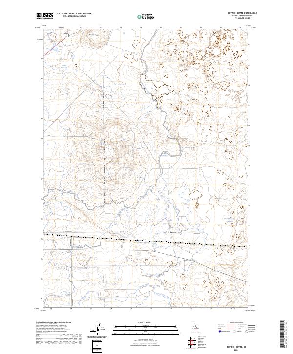
2024 Dietrich Butte
Lincoln County, ID
2024 Kinzie Butte
Lincoln County, ID
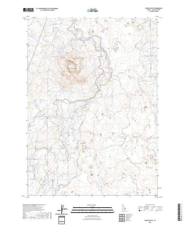
2024 Owinza Butte
Lincoln County, ID
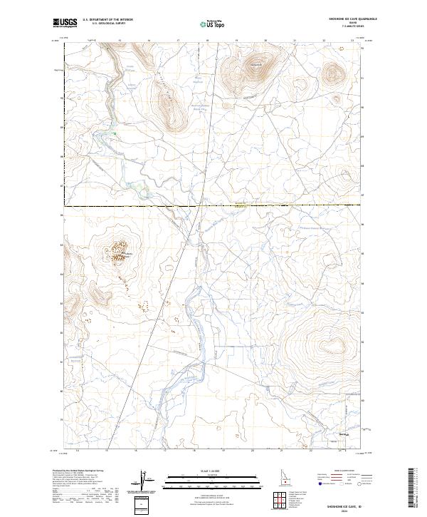
2024 Shoshone Ice Cave
Lincoln County, ID
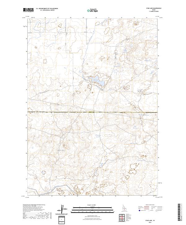
2024 Star Lake
Lincoln County, ID
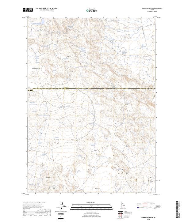
2024 Summit Reservoir
Lincoln County, ID
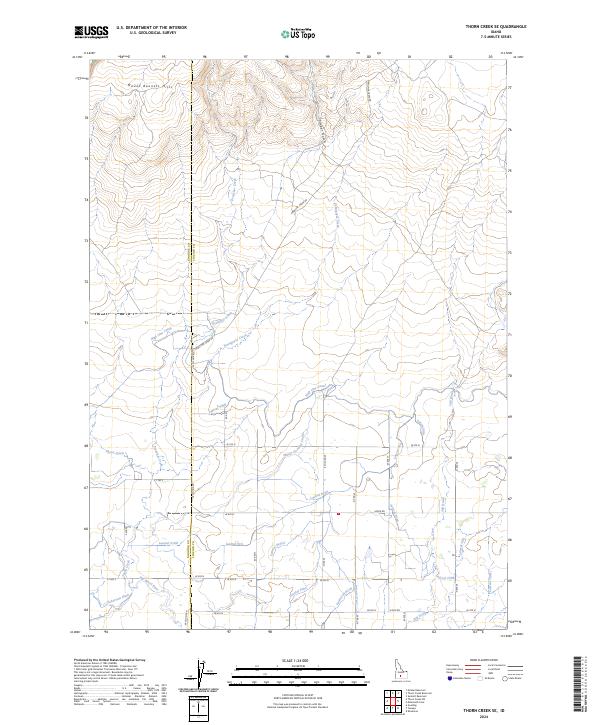
2024 Thorn Creek SE
Lincoln County, ID

2024 Tikura
Lincoln County, ID
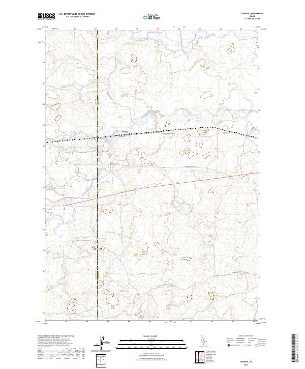
2024 Tunupa
Lincoln County, ID