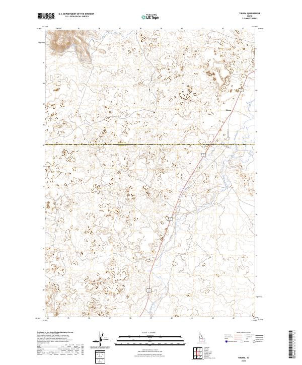
2024 Map of Tikura
USGS Topo · Published 2024About this map
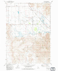
Tikura serves as the primary focal point of this high-desert landscape, situated where the high plains of southern Idaho meet the irrigation and transport corridors of the Little Wood River valley. The map documents the persistent infrastructure of the region, specifically tracking the paths of the Old State Hwy and Old Hwy as they navigate the lava-influenced terrain between the river and Silver Creek. The interface between Blaine County and Lincoln County bisects the quadrangle, illustrating how early 21st-century administrative boundaries and water rights continue to shape this rural agricultural environment. This survey provides a precise accounting of the contemporary hydrography and road networks that have defined local transit since the early settlement era.
Find a feature on this map
10 named features on this map. Tap any name to fly to it.
Don’t see what you’re looking for? This feature index may not catch every label — zoom into the map to look around manually.
Map Details
Editions of this 2024 Tikura Map
This is the sole edition of this map. No revisions or reprints were ever made.
Other maps of this area

1955 · Idaho Falls
USGS Topo · 1:250,000

1955 · Hailey
USGS Topo · 1:250,000

1958 · Idaho Falls
USGS Topo · 1:250,000

1959 · Hailey
USGS Topo · 1:250,000

1962 · Hailey
USGS Topo · 1:250,000

1978 · Craters Of The Moon
USGS Topo · 1:100,000
1979 · Richfield
USGS Topo · 1:24,000
1979 · Black Ridge Crater
USGS Topo · 1:24,000
1979 · Tapper Lake
USGS Topo · 1:24,000
1979 · Gannett
USGS Topo · 1:24,000