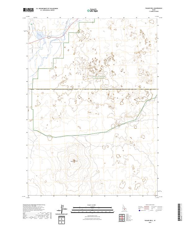
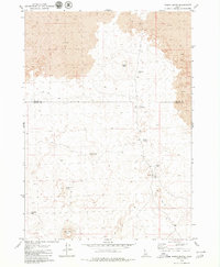
2023 Map of Pagari Well
USGS Topo · Published 2023About this map
Craters of the Moon National Preserve dominates the central and eastern portions of this Idaho landscape, where complex volcanic terrain meets the irrigation-fed agriculture of the Snake River Plain. The north-central section shows the confluence area of Silver Creek and the Little Wood River, waterways that defined early ranching and travel routes in this part of Lincoln County. Local infrastructure is represented by a sparse network of rural thoroughfares, including Cutoff Rd, Durfee Rd, and Shed Rd, which skirt the edges of the lava fields. To the south, the prominent landmark of Monument Butte rises from the surrounding flats, serving as a distinct navigational point for those traversing the township boundaries of t3s r21e and t2s r21e.
Find a feature on this map
12 named features on this map. Tap any name to fly to it.
Don’t see what you’re looking for? This feature index may not catch every label — zoom into the map to look around manually.
Map Details
Editions of this 2023 Pagari Well Map
This is the sole edition of this map. No revisions or reprints were ever made.
Other maps of this area

1955 · Idaho Falls
USGS Topo · 1:250,000

1955 · Hailey
USGS Topo · 1:250,000

1958 · Idaho Falls
USGS Topo · 1:250,000

1959 · Hailey
USGS Topo · 1:250,000

1962 · Hailey
USGS Topo · 1:250,000

1978 · Craters Of The Moon
USGS Topo · 1:100,000
1979 · Black Ridge Crater
USGS Topo · 1:24,000
1979 · Paddelford Flat
USGS Topo · 1:24,000
1979 · Pagari Well
USGS Topo · 1:24,000
1979 · Wagon Butte
USGS Topo · 1:24,000