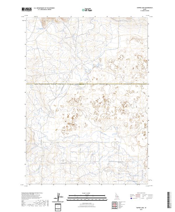
2023 Map of Tapper Lake
USGS Topo · Published 2023About this map
The Picabo Hills define the northern horizon of this high-desert landscape along the border of Blaine and Lincoln counties. Water management is the primary narrative of this terrain, where natural features like Sagebrush Spring and the Jim Byrns Slough exist alongside an extensive network of human-made irrigation infrastructure. The lower half of the quadrangle is defined by the Richfield Canal, East Main Canal, and West Main Canal, which feed a series of numbered laterals including Lateral 731 and Lateral 917. Scattered across the interior are essential catchments such as Tapper Lake, Sonners Reservoir, and the curiously named Unique Reservoir. This web of canals and reservoirs underscores the transition of the Snake River Plain into productive agricultural land, connected by a grid of rural routes like Forks Division Rd and Cottonwoods Rd.
Find a feature on this map
29 named features on this map. Tap any name to fly to it.
Don’t see what you’re looking for? This feature index may not catch every label — zoom into the map to look around manually.
Map Details
Editions of this 2023 Tapper Lake Map
This is the sole edition of this map. No revisions or reprints were ever made.
Other maps of this area

1955 · Hailey
USGS Topo · 1:250,000

1957 · Bellevue
USGS Topo · 1:62,500

1959 · Hailey
USGS Topo · 1:250,000

1962 · Hailey
USGS Topo · 1:250,000
1979 · Richfield
USGS Topo · 1:24,000

1979 · Shoshone Ice Cave
USGS Topo · 1:24,000
1979 · Tapper Lake
USGS Topo · 1:24,000
1979 · Gannett
USGS Topo · 1:24,000
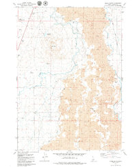
1979 · Kinzie Butte
USGS Topo · 1:24,000
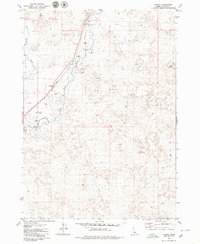
1979 · Pagari
USGS Topo · 1:24,000