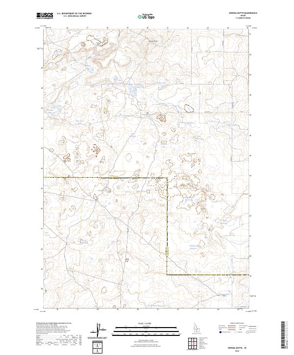
2024 Map of Owinza Butte
USGS Topo · Published 2024About this map
Owinza Butte stands as the primary landmark in this section of the Snake River Plain, where the boundary between Lincoln and Jerome counties cuts across a landscape defined by volcanic geology and water management. This 2024 survey documents a territory characterized by numerous small lakes and man-made impoundments scattered throughout the sagebrush steppe. The naming of these water bodies reflects a strong connection to local wildlife and the high desert environment, including Mallard Lake, Sand Lake, and Mule Shoe Lake.
Find a feature on this map
40 named features on this map. Tap any name to fly to it.
Don’t see what you’re looking for? This feature index may not catch every label — zoom into the map to look around manually.
Map Details
Editions of this 2024 Owinza Butte Map
This is the sole edition of this map. No revisions or reprints were ever made.
Other maps of this area

1954 · Pocatello
USGS Topo · 1:250,000

1955 · Twin Falls
USGS Topo · 1:250,000

1958 · Twin Falls
USGS Topo · 1:250,000

1958 · Pocatello
USGS Topo · 1:250,000

1964 · Burley NW
USGS Topo · 1:24,000

1964 · Hazelton NE
USGS Topo · 1:24,000

1964 · Hunt
USGS Topo · 1:24,000

1971 · Star Lake
USGS Topo · 1:24,000

1971 · Owinza
USGS Topo · 1:24,000

1971 · Dietrich Butte
USGS Topo · 1:24,000