
1971 Map of Dietrich Butte
USGS Topo · Published 1974About this map
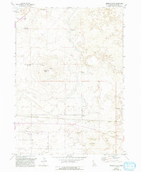
Dietrich Butte and its cinder pit dominate the volcanic landscape of southern Idaho, where 1970s land use reflects a complex system of desert irrigation. Water management defines the terrain, as the Dietrich Main Canal and various laterals snake across the plains to support reservoirs like Crater Reservoir and West Monument Reservoir. This infrastructure suggests a high degree of engineering required to sustain agricultural or pastoral activity in an area otherwise characterized by Sand Dunes and lava-formed features like Brown Butte.
Find a feature on this map
24 named features on this map. Tap any name to fly to it.
Don’t see what you’re looking for? This feature index may not catch every label — zoom into the map to look around manually.
Map Details
Editions of this 1971 Dietrich Butte Map
2 editions found
Other maps of this area

1955 · Twin Falls
USGS Topo · 1:250,000

1955 · Hailey
USGS Topo · 1:250,000

1958 · Twin Falls
USGS Topo · 1:250,000

1959 · Hailey
USGS Topo · 1:250,000

1962 · Hailey
USGS Topo · 1:250,000

1971 · Shoshone SE
USGS Topo · 1:24,000

1971 · Star Lake
USGS Topo · 1:24,000

1971 · Owinza
USGS Topo · 1:24,000

1971 · Dietrich
USGS Topo · 1:24,000
1971 · Owinza Butte
USGS Topo · 1:24,000