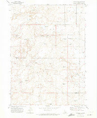
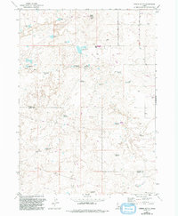
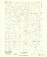
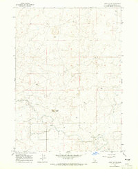
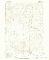
1971 Map of Owinza Butte
USGS Topo · Published 1974About this map
Owinza Butte stands as the central landmark of this high desert terrain along the border of Lincoln Co and Jerome Co. The landscape is defined by an intricate network of ephemeral water sources and small reservoirs, suggesting a region shaped by livestock grazing and seasonal water management. Scattered across the plains are uniquely named features such as One Shot Lake, Mule Shoe Lake, and Tumbleweed Reservoir, which reflect the local vernacular of the Idaho ranching frontier.
Find a feature on this map
28 named features on this map. Tap any name to fly to it.
Don’t see what you’re looking for? This feature index may not catch every label — zoom into the map to look around manually.
Map Details
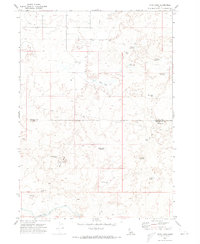
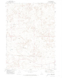
Editions of this 1971 Owinza Butte Map
2 editions found
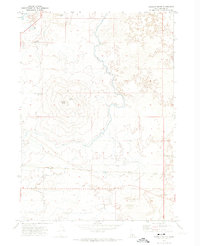
Other maps of this area

1954 · Pocatello
USGS Topo · 1:250,000

1955 · Twin Falls
USGS Topo · 1:250,000

1958 · Twin Falls
USGS Topo · 1:250,000

1958 · Pocatello
USGS Topo · 1:250,000
1964 · Burley NW
USGS Topo · 1:24,000
1964 · Hazelton NE
USGS Topo · 1:24,000
1964 · Hunt
USGS Topo · 1:24,000
1971 · Star Lake
USGS Topo · 1:24,000
1971 · Owinza
USGS Topo · 1:24,000
1971 · Dietrich Butte
USGS Topo · 1:24,000