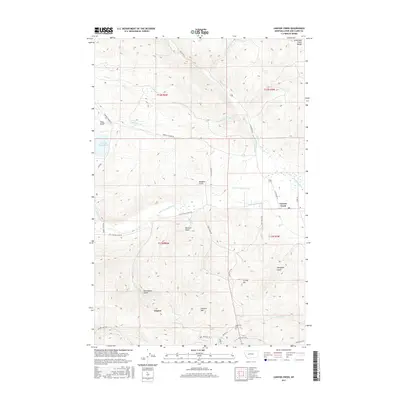
2017 Map of Canyon Creek
USGS Topo · Published 2017About this map
Marysville serves as a primary settlement node in this high-altitude landscape where the Lewis and Clark Range meets the drainages of the Missouri River basin. The settlement pattern here is deeply tied to the terrain, with small clusters like Gloster and Canyon Creek positioned along key watercourses and mining-era access routes. The presence of the Marysville Cem provides a vital point of reference for genealogists tracing the legacy of those who lived in this mountain district.
Find a feature on this map
46 named features on this map. Tap any name to fly to it.
Don’t see what you’re looking for? This feature index may not catch every label — zoom into the map to look around manually.
Map Details
Editions of this 2017 Canyon Creek Map
This is the sole edition of this map. No revisions or reprints were ever made.
Other maps of this area

1889 · Helena
USGS Topo · 1:250,000

1893 · Helena
USGS Topo · 1:250,000

1899 · Helena
USGS Topo · 1:250,000

1903 · Helena
USGS Topo · 1:250,000

1947 · Butte
USGS Topo · 1:250,000

1950 · Helena
USGS Topo · 1:62,500

1958 · Butte
USGS Topo · 1:250,000

1959 · Elliston
USGS Topo · 1:62,500

1960 · Butte
USGS Topo · 1:250,000

1962 · Butte
USGS Topo · 1:250,000