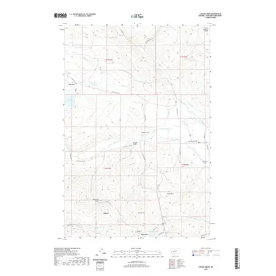
2020 Map of Canyon Creek
USGS Topo · Published 2020About this map
Marysville and the neighboring settlement of Gloster anchor the southern portion of this landscape, situated near the headwaters of Silver Creek and Jennies Fork. The area is defined by a complex network of gulches and ridges that feed into the larger drainage of Little Prickly Pear Creek, a pattern that heavily influenced early mining and ranching roads. A significant history of water management is visible through a series of engineered waterways, including Grady Ditch, Justisson Ditch, and Gans Klein Ditch, which traverse the lower elevations near Canyon Creek. To the west, the terrain rises toward Edward Mountain, while local landmarks like Trinity Hill and Pikes Gulch suggest a landscape shaped by both natural processes and early industrial extraction. Genealogists can also locate the Marysville Cem just outside the town proper.
Find a feature on this map
47 named features on this map. Tap any name to fly to it.
Don’t see what you’re looking for? This feature index may not catch every label — zoom into the map to look around manually.
Map Details
Editions of this 2020 Canyon Creek Map
This is the sole edition of this map. No revisions or reprints were ever made.
Other maps of this area

1889 · Helena
USGS Topo · 1:250,000

1893 · Helena
USGS Topo · 1:250,000

1899 · Helena
USGS Topo · 1:250,000

1903 · Helena
USGS Topo · 1:250,000

1947 · Butte
USGS Topo · 1:250,000

1950 · Helena
USGS Topo · 1:62,500

1958 · Butte
USGS Topo · 1:250,000

1959 · Elliston
USGS Topo · 1:62,500

1960 · Butte
USGS Topo · 1:250,000

1962 · Butte
USGS Topo · 1:250,000