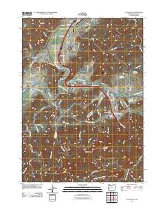
2011 Map of Canyonville
USGS Topo · Published 2011About this map
Canyonville and its surrounding river valleys define this 2011 survey, centered on the confluence of the South Umpqua River and its major tributaries. The landscape is marked by a clear pattern of settlement concentrated along the waterways, with the towns of Riddle and Tri City serving as primary hubs. Industrial history is evident in the presence of the Pearson Log Pond and Herbert Log Pond, indicating the local importance of the timber industry. Transportation networks are anchored by the Old Pacific Hwy and the Tri-City State Airport, while more rugged interior terrain is represented by landmarks like Tellurium Peak and Canyon Mountain. For genealogists, the map identifies several significant burial sites, including the Pioneer Cemetery, Canyonville Cemetery, and the William D Bradley Cemetery, providing essential location data for local family history research in this part of Douglas County.
Find a feature on this map
89 named features on this map. Tap any name to fly to it.
Don’t see what you’re looking for? This feature index may not catch every label — zoom into the map to look around manually.
Map Details
Editions of this 2011 Canyonville Map
This is the sole edition of this map. No revisions or reprints were ever made.
Other maps of this area

1897 · Roseburg
USGS Topo · 1:125,000

1900 · Roseburg
USGS Topo · 1:125,000

1904 · Riddle
USGS Topo · 1:125,000

1954 · Dixonville
USGS Topo · 1:62,500

1954 · Days Creek
USGS Topo · 1:62,500

1954 · Canyonville
USGS Topo · 1:62,500

1955 · Roseburg
USGS Topo · 1:62,500

1955 · Medford
USGS Topo · 1:250,000

1957 · Medford
USGS Topo · 1:250,000

1958 · Medford
USGS Topo · 1:250,000