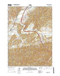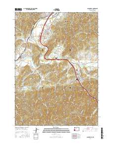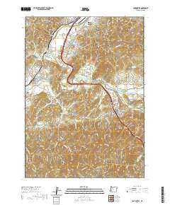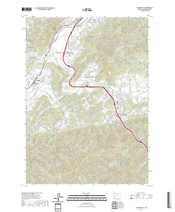
2024 Map of Canyonville
USGS Topo · Published 2024About this map
The South Umpqua River carves a central path through this Douglas County landscape, serving as the primary corridor for the communities of Myrtle Creek, Tri-City, and Canyonville. The geography is defined by narrow valleys and significant elevation changes, such as Canyon Mtn and Tellurium Peak, which overlook a network of industrial and timber-related features. Log ponds, including Gorder Log Pond and Herbert Log Pond, highlight the importance of the local timber economy, while the Myrtle Creek Municipal Airport and several major bypass roads illustrate the modern infrastructure connecting these mountain settlements.
Find a feature on this map
126 named features on this map. Tap any name to fly to it.
Don’t see what you’re looking for? This feature index may not catch every label — zoom into the map to look around manually.
Map Details
Editions of this 2024 Canyonville Map
This is the sole edition of this map. No revisions or reprints were ever made.
Historical Maps of Myrtle Creek Through Time
8 maps found