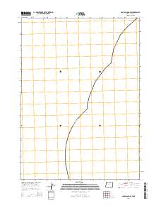
2014 Map of Cape Blanco OE W
USGS Topo · Published 2014About this map
Oregon Curry Co is the primary focus of this offshore quadrangle, which documents the administrative limits of the Pacific coastline as they stood in 2014. Located in the southwestern reaches of the state, the survey defines the boundary between the coastal waters and the mainland of Curry County. This map is specialized for maritime and coastal positioning, omitting terrestrial topography and imagery in favor of precise coordinate grids and administrative demarcations. For those tracking legal jurisdictions and the historical evolution of Pacific Northwest coastal boundaries, this document provides the exact positioning of the state and county line in the vicinity of Cape Blanco.
Find a feature on this map
1 named feature on this map. Tap any name to fly to it.
Don’t see what you’re looking for? This feature index may not catch every label — zoom into the map to look around manually.
Map Details
Editions of this 2014 Cape Blanco OE W Map
This is the sole edition of this map. No revisions or reprints were ever made.
Other maps of this area

1954 · Coos Bay
USGS Topo · 1:250,000

1954 · Cape Blanco
USGS Topo · 1:62,500

1958 · Coos Bay
USGS Topo · 1:250,000

1962 · Coos Bay
USGS Topo · 1:250,000
1986 · Floras Lake
USGS Topo · 1:24,000
1986 · Cape Blanco
USGS Topo · 1:24,000
1992 · Port Orford
USGS Topo · 1:100,000
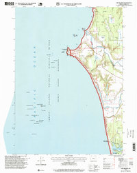
1996 · Cape Blanco
USGS Topo · 1:24,000
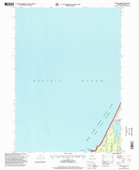
1996 · Floras Lake
USGS Topo · 1:24,000
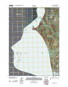
2011 · Cape Blanco
USGS Topo · 1:24,000