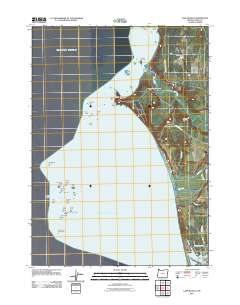
2011 Map of Cape Blanco
USGS Topo · Published 2011About this map
Cape Blanco and its historic Cape Blanco Lighthouse dominate this coastal survey, marking the westernmost point of the mainland Oregon coast. The landscape is defined by the convergence of the Sixes River and Elk River as they meet the Pacific, creating a complex maritime environment. In the southern reach of the map, the northern edge of Port Orford appears near Garrison Lake and Buffington Memorial Park, while the Hughes Family Cemetery provides a specific point of interest for genealogists tracing early coastal settlers.
Find a feature on this map
45 named features on this map. Tap any name to fly to it.
Don’t see what you’re looking for? This feature index may not catch every label — zoom into the map to look around manually.
Map Details
Editions of this 2011 Cape Blanco Map
This is the sole edition of this map. No revisions or reprints were ever made.
Other maps of this area

1899 · Port Orford
USGS Topo · 1:125,000

1903 · Port Orford
USGS Topo · 1:125,000

1954 · Coos Bay
USGS Topo · 1:250,000

1954 · Port Orford
USGS Topo · 1:62,500

1954 · Cape Blanco
USGS Topo · 1:62,500

1954 · Langlois
USGS Topo · 1:62,500

1958 · Coos Bay
USGS Topo · 1:250,000

1962 · Coos Bay
USGS Topo · 1:250,000
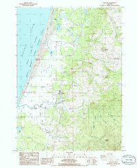
1986 · Langlois
USGS Topo · 1:24,000
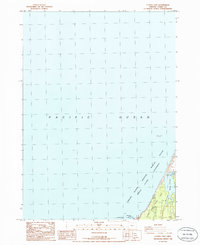
1986 · Floras Lake
USGS Topo · 1:24,000