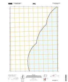
2020 Map of Cape Blanco OE W
USGS Topo · Published 2020About this map
The Pacific Ocean dominates this offshore survey along the Oregon coast in Curry County. This map documents a stretch of the shoreline just west of the mainland, primarily focusing on the marine environment and coastal hazards. A prominent navigational marker, Fox Rock, sits alone in the southeastern corner of the quadrangle, representing one of the few emergent geological features in this maritime area. The survey, produced by the U.S. Geological Survey using National Hydrography Dataset information, serves to delineate the boundary between the open sea and the immediate coastal waters, providing a clear record of the near-shore topography as it appeared in the early 21st century.
Find a feature on this map
2 named features on this map. Tap any name to fly to it.
Don’t see what you’re looking for? This feature index may not catch every label — zoom into the map to look around manually.
Map Details
Editions of this 2020 Cape Blanco OE W Map
This is the sole edition of this map. No revisions or reprints were ever made.
Other maps of this area

1954 · Coos Bay
USGS Topo · 1:250,000

1954 · Cape Blanco
USGS Topo · 1:62,500

1958 · Coos Bay
USGS Topo · 1:250,000

1962 · Coos Bay
USGS Topo · 1:250,000
1986 · Floras Lake
USGS Topo · 1:24,000
1986 · Cape Blanco
USGS Topo · 1:24,000
1992 · Port Orford
USGS Topo · 1:100,000
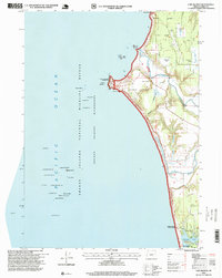
1996 · Cape Blanco
USGS Topo · 1:24,000
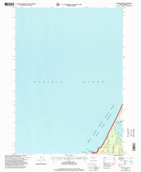
1996 · Floras Lake
USGS Topo · 1:24,000
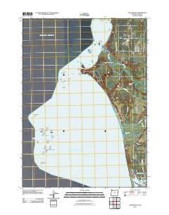
2011 · Cape Blanco
USGS Topo · 1:24,000