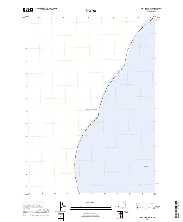
2023 Map of Cape Blanco OE W
USGS Topo · Published 2023About this map
The Pacific Ocean dominates this offshore survey, marking the extreme western maritime boundary of the Oregon coast near Cape Blanco. This marine landscape is defined by the protected waters and rocky outcroppings of the Oregon Islands National Wildlife Refuge and the Oregon Islands Wilderness. These designations highlight a commitment to preserving the uninhabited coastal environment, where isolated geological features like Fox Rock provide critical habitat away from the mainland. The map captures a section of the coastline where the transition from open sea to the rugged island systems of Curry County occurs, emphasizing the preservation of the natural shoreline and its biological significance over human settlement.
Find a feature on this map
4 named features on this map. Tap any name to fly to it.
Don’t see what you’re looking for? This feature index may not catch every label — zoom into the map to look around manually.
Map Details
Editions of this 2023 Cape Blanco OE W Map
This is the sole edition of this map. No revisions or reprints were ever made.
Other maps of this area

1954 · Coos Bay
USGS Topo · 1:250,000

1954 · Cape Blanco
USGS Topo · 1:62,500

1958 · Coos Bay
USGS Topo · 1:250,000

1962 · Coos Bay
USGS Topo · 1:250,000
1986 · Floras Lake
USGS Topo · 1:24,000
1986 · Cape Blanco
USGS Topo · 1:24,000
1992 · Port Orford
USGS Topo · 1:100,000
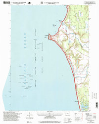
1996 · Cape Blanco
USGS Topo · 1:24,000
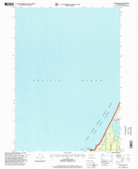
1996 · Floras Lake
USGS Topo · 1:24,000
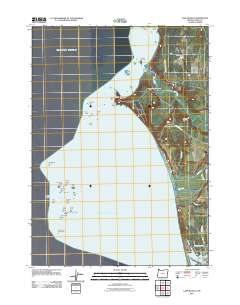
2011 · Cape Blanco
USGS Topo · 1:24,000