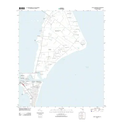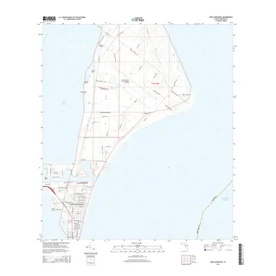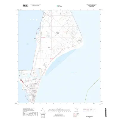
2024 Map of Cape Canaveral
USGS Topo · Published 2024About this map
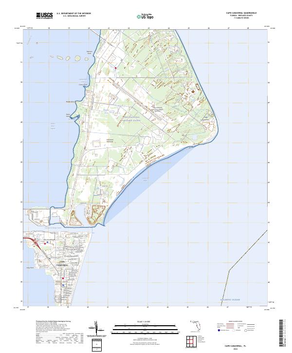
Cape Canaveral Air Force Station dominates this coastal landscape, situated on a prominent bend of the Canaveral Peninsula between the Banana River and the Atlantic Ocean. The area is a critical junction of aerospace infrastructure and conservation, where the Cape Canaveral Space Force Station Skid Strip sits adjacent to the Merritt Island National Wildlife Refuge. The map details the transition from the heavy industrial and military facilities of the north to the residential and commercial street grid of the city of Cape Canaveral in the south.
Find a feature on this map
74 named features on this map. Tap any name to fly to it.
Don’t see what you’re looking for? This feature index may not catch every label — zoom into the map to look around manually.
Map Details
Editions of this 2024 Cape Canaveral Map
This is the sole edition of this map. No revisions or reprints were ever made.
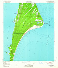
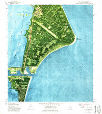
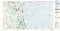
Historical Maps of Cape Canaveral Through Time
8 maps found