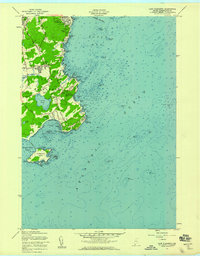
1957 Map of Cape Elizabeth
USGS Topo · Published 1958About this map
Coastal Cumberland County topography is defined by the sharp transition from the residential fringes of South Portland to the rocky promontories and hidden coves of Cape Elizabeth. The map highlights a landscape in post-war transition, where established residential areas like Delano Park and Elizabeth Park sit near working shorelines and navigational landmarks. Notable maritime infrastructure includes the Portland Head Lighthouse and the strategic U S Mil Res Fort Williams at the northern tip, while the interior reveals the importance of the Great Pond drainage and the meandering Spurwink River.
Find a feature on this map
79 named features on this map. Tap any name to fly to it.
Don’t see what you’re looking for? This feature index may not catch every label — zoom into the map to look around manually.
Map Details
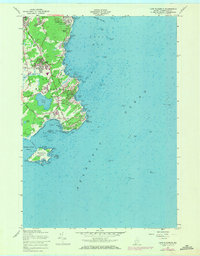
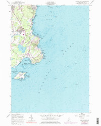
Editions of this 1957 Cape Elizabeth Map
3 editions found
Other maps of this area

1891 · Portland
USGS Topo · 1:62,500

1891 · Biddeford
USGS Topo · 1:62,500

1893 · Biddeford
USGS Topo · 1:62,500

1893 · Portland
USGS Topo · 1:62,500

1893 · Casco Bay
USGS Topo · 1:62,500

1914 · Portland
USGS Topo · 1:48,000

1914 · Casco Bay
USGS Topo · 1:48,000

1916 · Portland
USGS Topo · 1:62,500

1916 · Casco Bay
USGS Topo · 1:62,500

1916 · Portland And Vicinity
USGS Topo · 1:62,500