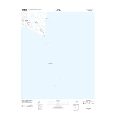
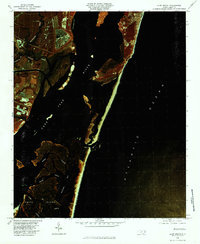
2013 Map of Cape Fear
USGS Topo · Published 2013About this map
Bald Head Island and its surrounding estuarine environment define the southernmost tip of North Carolina in this maritime survey. The map details a landscape shaped by water and shifting sands, highlighting Middle Island and Bluff Island tucked behind the protective barrier. Names like Fort Holmes Trl and Edward Teach Wynd reference the area's deep-rooted history, from Civil War defenses to the legends of the Golden Age of Piracy. The intricate network of tidal waterways including Bald Head Cr and Cape Cr illustrates the complex drainage of the salt marshes. To the south and east, the map reveals the treacherous underwater geography that earned this region its reputation, featuring Bald Head Shoal, the extensive Frying Pan Shoals, and the nautical channels of Cape Fear Slue and Four Mile Slue.
Find a feature on this map
28 named features on this map. Tap any name to fly to it.
Don’t see what you’re looking for? This feature index may not catch every label — zoom into the map to look around manually.
Map Details
Editions of this 2013 Cape Fear Map
This is the sole edition of this map. No revisions or reprints were ever made.
Other maps of this area

1942 · Cape Fear
USGS Topo · 1:24,000

1946 · Southport
USGS Topo · 1:24,000

1946 · Snow Marsh
USGS Topo · 1:24,000

1949 · Georgetown
USGS Topo · 1:250,000

1967 · Georgetown
USGS Topo · 1:250,000
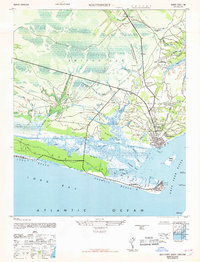
1969 · Southport
USGS Topo · 1:24,000
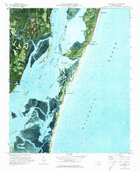
1970 · Kure Beach
USGS Topo · 1:24,000
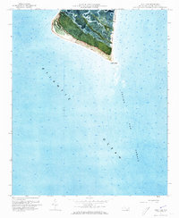
1970 · Cape Fear
USGS Topo · 1:24,000

1974 · Georgetown
USGS Topo · 1:250,000
1980 · Kure Beach
USGS Topo · 1:24,000