
1942 Map of Cape Fear
USGS Topo · Published 1956About this map
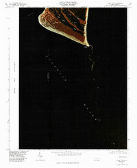
Cape Fear stands at the southernmost tip of this maritime landscape, where the Atlantic Ocean meets the expansive waters of Long Bay and Onslow Bay. Surveyed during the early years of World War II, the map highlights the critical navigational and defense infrastructure of Smith Island, including the Bald Head Lighthouse Radio Beacon and the Cape Fear Lighthouse. A lone Telephone Line stretches across the interior, connecting the Signal Mast and Coast Guard Tower to the broader world. The island's geography is defined by a network of tidal waters such as Middle Creek, Island Creek, and Fishing Creek, which weave through the terrain between Yellow Bluff and Bluff Island. This 1942 survey captures the barrier island's strategic character at a time when its primary features were dedicated to coastal vigilance and maritime safety.
Find a feature on this map
19 named features on this map. Tap any name to fly to it.
Don’t see what you’re looking for? This feature index may not catch every label — zoom into the map to look around manually.
Map Details
Editions of this 1942 Cape Fear Map
This is the sole edition of this map. No revisions or reprints were ever made.
Other maps of this area

1946 · Southport
USGS Topo · 1:24,000

1946 · Snow Marsh
USGS Topo · 1:24,000

1949 · Georgetown
USGS Topo · 1:250,000

1967 · Georgetown
USGS Topo · 1:250,000
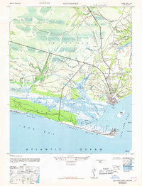
1969 · Southport
USGS Topo · 1:24,000
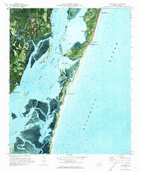
1970 · Kure Beach
USGS Topo · 1:24,000
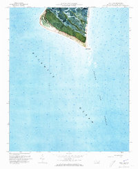
1970 · Cape Fear
USGS Topo · 1:24,000

1974 · Georgetown
USGS Topo · 1:250,000
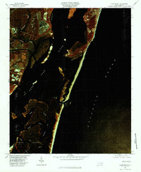
1980 · Kure Beach
USGS Topo · 1:24,000
1980 · Cape Fear
USGS Topo · 1:24,000