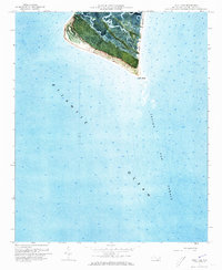
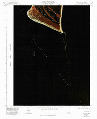
1970 Map of Cape Fear
USGS Topo · Published 1972About this map
Smith Island anchors this orthophotomap, showing the delicate maritime landscape of the North Carolina coast during the early 1970s. The aerial imagery captures the dense vegetation of the interior hammock transitioning into the extensive Tidal Flat areas and winding waterways like Bald Head Creek and Cape Creek. The prominent Bald Head Lighthouse stands as a primary landmark on Bald Head, marking the historic entrance to the river.
Find a feature on this map
11 named features on this map. Tap any name to fly to it.
Don’t see what you’re looking for? This feature index may not catch every label — zoom into the map to look around manually.
Map Details
Editions of this 1970 Cape Fear Map
This is the sole edition of this map. No revisions or reprints were ever made.
Other maps of this area

1942 · Cape Fear
USGS Topo · 1:24,000

1946 · Southport
USGS Topo · 1:24,000

1946 · Snow Marsh
USGS Topo · 1:24,000

1949 · Georgetown
USGS Topo · 1:250,000

1967 · Georgetown
USGS Topo · 1:250,000
1969 · Southport
USGS Topo · 1:24,000
1970 · Kure Beach
USGS Topo · 1:24,000

1974 · Georgetown
USGS Topo · 1:250,000
1980 · Kure Beach
USGS Topo · 1:24,000
1980 · Cape Fear
USGS Topo · 1:24,000