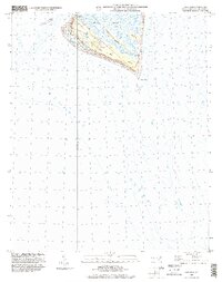
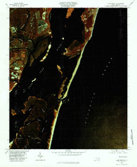
1999 Map of Cape Fear
USGS Topo · Published 2001About this map
Smith Island anchors this coastal survey, where the iconic Bald Head Lighthouse stands watch over the southernmost point of North Carolina. The landscape is defined by the shifting sands and intricate tidal systems of Cape Fear, including the expansive Frying Pan Shoals reaching out into the Atlantic Ocean. Inland, the map reveals a network of saltwater arteries such as Bald Head Creek, Middle Creek, and Deep Creek that carve through the marshes of Cape Island and Bluff Is. While the Bald Head settlement shows established development and a golf course by this era, the eastern coastline remains largely defined by the natural reach of East Beach. This edition provides a clear record of the intersection between human development and the dynamic maritime environment at the mouth of the Cape Fear River.
Find a feature on this map
15 named features on this map. Tap any name to fly to it.
Don’t see what you’re looking for? This feature index may not catch every label — zoom into the map to look around manually.
Map Details
Editions of this 1999 Cape Fear Map
This is the sole edition of this map. No revisions or reprints were ever made.
Other maps of this area

1942 · Cape Fear
USGS Topo · 1:24,000

1946 · Southport
USGS Topo · 1:24,000

1946 · Snow Marsh
USGS Topo · 1:24,000

1949 · Georgetown
USGS Topo · 1:250,000

1967 · Georgetown
USGS Topo · 1:250,000
1969 · Southport
USGS Topo · 1:24,000
1970 · Kure Beach
USGS Topo · 1:24,000
1970 · Cape Fear
USGS Topo · 1:24,000

1974 · Georgetown
USGS Topo · 1:250,000
1980 · Kure Beach
USGS Topo · 1:24,000