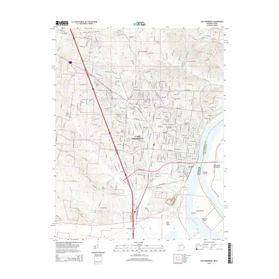
2015 Map of Cape Girardeau
USGS Topo · Published 2015About this map
Cape Girardeau dominates this landscape along the western bank of the Mississippi River, showcasing a modern cityscape intertwined with significant historical burial grounds and academic institutions. The city serves as a regional anchor, featuring the Southeast Missouri State Univ campus and the Metro Business Coll of Cape Girardeau. The industrial and logistics legacy of the area is evident in the Burlington Northern Santa Fe RR corridors that navigate the terrain near the river and Decatur.
Find a feature on this map
158 named features on this map. Tap any name to fly to it.
Don’t see what you’re looking for? This feature index may not catch every label — zoom into the map to look around manually.
Map Details
Editions of this 2015 Cape Girardeau Map
This is the sole edition of this map. No revisions or reprints were ever made.
Other maps of this area

1920 · Jonesboro
USGS Topo · 1:62,500

1922 · Cape Girardeau
USGS Topo · 1:62,500

1923 · Jonesboro
USGS Topo · 1:62,500

1924 · Cape Girardeau
USGS Topo · 1:62,500

1934 · Thebes
USGS Topo · 1:62,500

1934 · Morley
USGS Topo · 1:62,500

1939 · Morley
USGS Topo · 1:62,500

1939 · Thebes
USGS Topo · 1:62,500

1947 · Jonesboro
USGS Topo · 1:62,500

1947 · Mc Clure
USGS Topo · 1:24,000