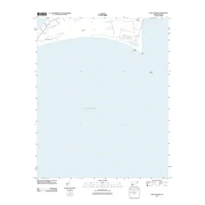
2011 Map of Cape Hatteras
USGS Topo · Published 2011About this map
Cape Hatteras Lighthouse stands as a sentinel on this barrier island survey, marking the sharp bend where the Outer Banks meet the Atlantic. The landscape is defined by the Cape Hatteras Natl Seashore, where wind-swept terrain like Creeds Hill and the prominent Cape Point shape the shifting shoreline. This 2011 edition shows the intersection of aviation and maritime history, featuring the Billy Mitchell Airport situated just inland from the surf. Offshore, the notorious Hatteras Shoals extend into the Atlantic Ocean, illustrating the treacherous underwater geography that has challenged mariners for centuries. Local access is traced through routes such as Piney Ridge Rd, providing a detailed look at the island's narrow footprint between the sound and the sea.
Find a feature on this map
9 named features on this map. Tap any name to fly to it.
Don’t see what you’re looking for? This feature index may not catch every label — zoom into the map to look around manually.
Map Details
Editions of this 2011 Cape Hatteras Map
This is the sole edition of this map. No revisions or reprints were ever made.
Other maps of this area

1948 · Cape Hatteras
USGS Topo · 1:24,000

1948 · Buxton
USGS Topo · 1:24,000

1950 · Cape Hatteras
USGS Topo · 1:24,000

1950 · Buxton
USGS Topo · 1:24,000

1955 · Wanchese
USGS Topo · 1:250,000

1957 · Manteo
USGS Topo · 1:250,000

1960 · Manteo
USGS Topo · 1:250,000

1985 · Cape Hatteras
USGS Topo · 1:100,000

2002 · Cape Hatteras
USGS Topo · 1:24,000

2011 · Buxton
USGS Topo · 1:24,000