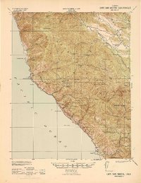
1942 Map of Cape San Martin
USGS Topo · Published 1942About this map
The Hunter Liggett Military Reservation dominates the interior of this coastal region during the early years of World War II. Along the jagged Pacific shoreline, small settlements like Gorda and Plaskett are connected by a primitive road network, while the hills above are marked by a legacy of resource extraction. Mining operations are scattered throughout the Santa Lucia Range, including the Melville Mine, Gorda Mine, and the Calizona Mine (abandoned).
Find a feature on this map
58 named features on this map. Tap any name to fly to it.
Don’t see what you’re looking for? This feature index may not catch every label — zoom into the map to look around manually.
Map Details
Editions of this 1942 Cape San Martin Map
This is the sole edition of this map. No revisions or reprints were ever made.
Other maps of this area
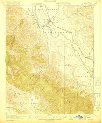
1919 · King City
USGS Topo · 1:62,500
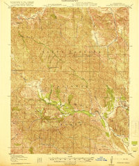
1919 · Junipero Serra
USGS Topo · 1:62,500
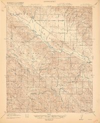
1919 · Bryson
USGS Topo · 1:62,500
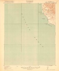
1919 · Piedras Blancas
USGS Topo · 1:62,500
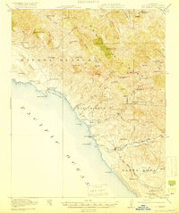
1919 · San Simeon
USGS Topo · 1:62,500
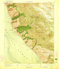
1921 · Cape San Martin
USGS Topo · 1:62,500
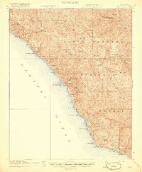
1921 · Lucia
USGS Topo · 1:62,500
1927 · Piedras Blancas
USGS Topo · 1:62,500
1937 · San Simeon
USGS Topo · 1:62,500
1939 · King City
USGS Topo · 1:62,500