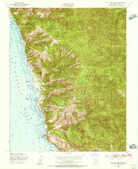
1949 Map of Cape San Martin
USGS Topo · Published 1956About this map
Coastal settlements and high ridgelines define this section of the Big Sur coast as it appeared in the late 1940s. Small outposts such as Plaskett and Gorda cling to the narrow terrace between the Pacific Ocean and the steep slopes of the Santa Lucia Range. The presence of the Pacific Valley Sch suggests a established community of residents and ranchers working the land before the more intensive tourism of later decades. Much of the interior is dominated by the Hunter Liggett Military Reservation, which butts against the Los Padres National Forest. Notable landmarks along the surf include the massive Plaskett Rock and the namesake Cape San Martin, while the higher elevations reach toward Chalk Peak and San Martin Top. Steep drainage systems like Mill Creek and Willow Creek cut through the mountains, illustrating the difficult terrain that shaped early regional development.
Find a feature on this map
26 named features on this map. Tap any name to fly to it.
Don’t see what you’re looking for? This feature index may not catch every label — zoom into the map to look around manually.
Map Details
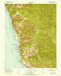
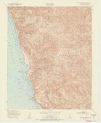
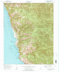
Editions of this 1949 Cape San Martin Map
4 editions found
Other maps of this area

1919 · Junipero Serra
USGS Topo · 1:62,500

1921 · Cape San Martin
USGS Topo · 1:62,500

1921 · Lucia
USGS Topo · 1:62,500

1941 · Cape San Martin
USGS Topo · 1:62,500

1941 · Lucia
USGS Topo · 1:62,500

1941 · Junipero Serra
USGS Topo · 1:62,500

1942 · Cape San Martin
USGS Topo · 1:62,500

1947 · Lucia
USGS Topo · 1:62,500

1947 · San Luis Obispo
USGS Topo · 1:250,000

1948 · Santa Cruz
USGS Topo · 1:250,000