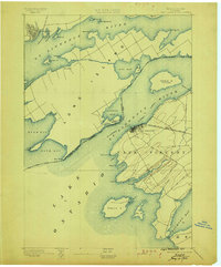
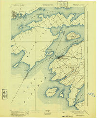
1895 Map of Cape Vincent
USGS Topo · Published 1899About this map
Cape Vincent serves as a critical maritime gateway in the late nineteenth century, situated where the St. Lawrence River meets the vast waters of Lake Ontario. This 1893 survey reveals a landscape defined by the international boundary between the United States and Canada, with the industrial and transit hub of Kingston visible on the northern shore. The era's heavy reliance on water and rail transport is evident through the path of the Steamboat Company and the terminus of the R. W. and O. R. R. Cape Vincent Branch. Across the river, Long Island dominates the channel, flanked by smaller landmasses like Grenadier Id. and Carleton Id.. Essential maritime navigation aids including Tibbetts Pt. L.H. and Brown Pt. L.H. anchor the points of the mainland, marking the transition from river navigation to open lake travel.
Find a feature on this map
52 named features on this map. Tap any name to fly to it.
Don’t see what you’re looking for? This feature index may not catch every label — zoom into the map to look around manually.
Map Details
Editions of this 1895 Cape Vincent Map
6 editions found
Other maps of this area

1893 · Sackets Harbor
USGS Topo · 1:62,500

1895 · Sacketts Harbor
USGS Topo · 1:62,500

1895 · Stony Island
USGS Topo · 1:62,500

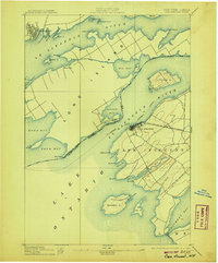
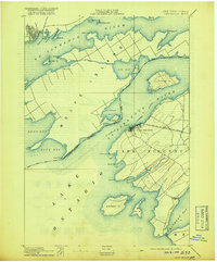
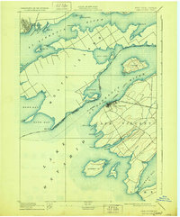
1895 · Cape Vincent
USGS Topo · 1:62,500

1900 · Clayton
USGS Topo · 1:62,500

1903 · Grindstone
USGS Topo · 1:62,500

1903 · Clayton
USGS Topo · 1:62,500

1942 · Cape Vincent North
USGS Topo · 1:31,680

1942 · Henderson Bay
USGS Topo · 1:31,680

1942 · Chaumont
USGS Topo · 1:31,680