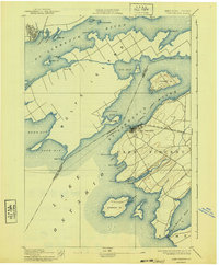
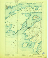
1895 Map of Cape Vincent
USGS Topo · Published 1940About this map
Wolfe Island and the strategic waters of the St. Lawrence River dominate this late-19th-century survey of the international boundary region. The maritime economy of the Thousand Islands is well-documented, showing the transit lines of the Ontario New York Steamboat Company and the terminus of the N. Y. C. and H. R. R. R. (Cape Vincent Branch) at the village of Cape Vincent. Navigational aids essential for Lake Ontario shipping are noted, including the Tibbetts Pt. L.H. and Brown Pt. L.H., marking the entrance to the river system.
Find a feature on this map
50 named features on this map. Tap any name to fly to it.
Don’t see what you’re looking for? This feature index may not catch every label — zoom into the map to look around manually.
Map Details
Editions of this 1895 Cape Vincent Map
6 editions found
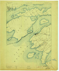
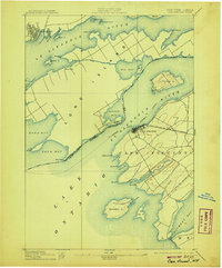
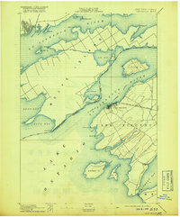
Other maps of this area

1893 · Sackets Harbor
USGS Topo · 1:62,500

1895 · Sacketts Harbor
USGS Topo · 1:62,500

1895 · Stony Island
USGS Topo · 1:62,500

1895 · Cape Vincent
USGS Topo · 1:62,500

1900 · Clayton
USGS Topo · 1:62,500

1903 · Grindstone
USGS Topo · 1:62,500

1903 · Clayton
USGS Topo · 1:62,500

1942 · Cape Vincent North
USGS Topo · 1:31,680

1942 · Henderson Bay
USGS Topo · 1:31,680

1942 · Chaumont
USGS Topo · 1:31,680