
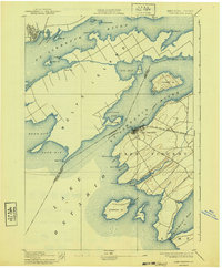
1895 Map of Cape Vincent
USGS Topo · Published 1895About this map
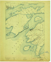
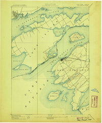
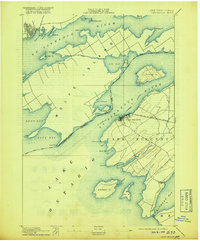
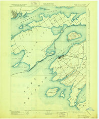
The waters of the St. Lawrence River and Lake Ontario converge at this late nineteenth-century maritime crossroads, where the international border separates New York from Canada. The township of Cape Vincent serves as a vital terminal for the R. W. and O. R. R. Cape Vincent Branch, connecting rail traffic to the river's Steamboat Company routes. Across the Bateau Channel, the massive profile of Long Island dominates the river, featuring the settlement of Marysville and a small Canal. Navigation for the heavy river traffic is guided by the Tibbetts Pt. L.H. and Brown Pt. L.H. lighthouses. Further north, the street grid of Kingston is visible near the mouth of the Gt. Cataraqui River, while numerous islands like Grenadier Id. and Carleton Id. dot the expansive bays.
Find a feature on this map
51 named features on this map. Tap any name to fly to it.
Don’t see what you’re looking for? This feature index may not catch every label — zoom into the map to look around manually.
Map Details
Editions of this 1895 Cape Vincent Map
6 editions found
Other maps of this area

1893 · Sackets Harbor
USGS Topo · 1:62,500

1895 · Sacketts Harbor
USGS Topo · 1:62,500

1895 · Stony Island
USGS Topo · 1:62,500

1900 · Clayton
USGS Topo · 1:62,500

1903 · Grindstone
USGS Topo · 1:62,500

1903 · Clayton
USGS Topo · 1:62,500

1942 · Cape Vincent North
USGS Topo · 1:31,680

1942 · Henderson Bay
USGS Topo · 1:31,680

1942 · Chaumont
USGS Topo · 1:31,680

1942 · Galloo Island
USGS Topo · 1:31,680