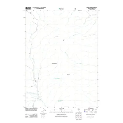
2011 Map of Capitol Peak
USGS Topo · Published 2011About this map
Forks Ranch sits at the confluence of Duck Creek and the North Fork Little Humboldt River, marking a vital point of water management and livestock movement in this high-desert Nevada landscape. The map reveals a network of water resources essential for ranching, from the artificial storage of North Mahogany Reservoir and South Mahogany Reservoir to natural features like Calico Spring. To the north, the terrain transitions into the Calico Mountains and the distinctive summit of Capitol Peak.
Find a feature on this map
23 named features on this map. Tap any name to fly to it.
Don’t see what you’re looking for? This feature index may not catch every label — zoom into the map to look around manually.
Map Details
Editions of this 2011 Capitol Peak Map
This is the sole edition of this map. No revisions or reprints were ever made.
Other maps of this area

1882 · Paradise
USGS Topo · 1:250,000

1893 · Paradise
USGS Topo · 1:250,000

1955 · McDermitt
USGS Topo · 1:250,000

1959 · McDermitt
USGS Topo · 1:250,000

1980 · Odell Mountain
USGS Topo · 1:24,000

1980 · Calico Butte
USGS Topo · 1:24,000

1980 · Capitol Peak
USGS Topo · 1:24,000

1980 · Mahogany Spring
USGS Topo · 1:24,000

1980 · Black Ridge
USGS Topo · 1:24,000

1980 · Greeley Flat
USGS Topo · 1:24,000