
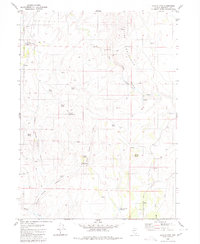
1980 Map of Black Ridge
USGS Topo · Published 1980About this map
Humboldt National Forest encompasses the high, drainage-rich terrain shown here in the early 1980s. The map is defined by the prominent Black Ridge and Mahogany Ridge, which separate various seasonal and perennial water systems. A single identified settlement, Cabin, sits in the northwest near the North Fork Creek, while the rest of the landscape is dominated by ranching and transit infrastructure such as the Bradshaw Road and various jeep trails.
Find a feature on this map
28 named features on this map. Tap any name to fly to it.
Don’t see what you’re looking for? This feature index may not catch every label — zoom into the map to look around manually.
Map Details
Editions of this 1980 Black Ridge Map
This is the sole edition of this map. No revisions or reprints were ever made.
Other maps of this area

1882 · Paradise
USGS Topo · 1:250,000

1893 · Paradise
USGS Topo · 1:250,000

1955 · McDermitt
USGS Topo · 1:250,000

1959 · McDermitt
USGS Topo · 1:250,000

1959 · McDermitt
USGS Topo · 1:62,500

1959 · Hinkey Summit
USGS Topo · 1:62,500

1980 · Capitol Peak
USGS Topo · 1:24,000

1980 · Hardscrabble
USGS Topo · 1:24,000

1980 · Spring City
USGS Topo · 1:24,000
1980 · Coyote Mtn.
USGS Topo · 1:24,000