
1959 Map of Hinkey Summit
USGS Topo · Published 1961About this map
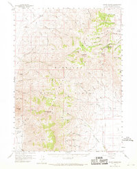
Santa Rosa Peak and Granite Peak dominate this high-altitude portion of the Santa Rosa National Forest in northern Nevada. The 1959 survey reveals a landscape primarily used for resource extraction and forestry management, centered around Hinkey Summit and the Martin Creek Ranger Station. A network of jeep trails, including the Spruill Trail, provides the primary access through deep canyons such as White Rock Canyon and Eagle Canyon.
Find a feature on this map
61 named features on this map. Tap any name to fly to it.
Don’t see what you’re looking for? This feature index may not catch every label — zoom into the map to look around manually.
Map Details
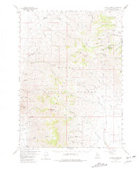
Editions of this 1959 Hinkey Summit Map
3 editions found
Other maps of this area

1882 · Paradise
USGS Topo · 1:250,000

1893 · Paradise
USGS Topo · 1:250,000

1945 · Hot Springs
USGS Topo · 1:62,500

1947 · Hot Springs Peak
USGS Topo · 1:62,500

1955 · McDermitt
USGS Topo · 1:250,000

1958 · Paradise Valley
USGS Topo · 1:62,500

1958 · Awakening Peak
USGS Topo · 1:62,500

1959 · McDermitt
USGS Topo · 1:250,000

1959 · Orovada
USGS Topo · 1:62,500

1959 · McDermitt
USGS Topo · 1:62,500