
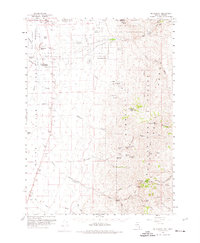
1959 Map of McDermitt
USGS Topo · Published 1961About this map
McDermitt sits on the border of Nevada and Oregon, serving as a hub for the surrounding ranching and mining operations in the late 1950s. The landscape is defined by the Fort McDermitt Indian Reservation and several established family properties, including the Minor Ranch, Giacometto Ranch, and UC Ranch. The area's economic foundations are clearly visible, from the Cordero Mine in the northwest to a cluster of operations in the southeast like the National Mine, Birthday Mine, and Halcyon Mine.
Find a feature on this map
58 named features on this map. Tap any name to fly to it.
Don’t see what you’re looking for? This feature index may not catch every label — zoom into the map to look around manually.
Map Details
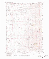
Editions of this 1959 McDermitt Map
3 editions found
Other maps of this area

1882 · Paradise
USGS Topo · 1:250,000

1893 · Paradise
USGS Topo · 1:250,000

1955 · McDermitt
USGS Topo · 1:250,000

1955 · Jordan Valley
USGS Topo · 1:250,000

1957 · Jordan Valley
USGS Topo · 1:250,000

1958 · Jordan Valley
USGS Topo · 1:250,000

1959 · McDermitt
USGS Topo · 1:250,000

1959 · Orovada
USGS Topo · 1:62,500

1959 · Hinkey Summit
USGS Topo · 1:62,500

1959 · Jordan Meadow
USGS Topo · 1:62,500