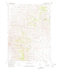
1959 Map of Hinkey Summit
USGS Topo · Published 1981About this map
The Santa Rosa Range dominates this late 1950s survey, illustrating a remote landscape of high peaks and isolated resource extraction. Significant elevations like Santa Rosa Peak and Granite Peak tower over the Humboldt National Forest, where steep canyons such as White Rock Canyon and Eagle Canyon define the drainage patterns. Evidence of early industry and land use is scattered throughout the terrain, including the Solid Silver Mine, several scattered Prospect sites, and a Gravel Pit near Skull Creek.
Find a feature on this map
48 named features on this map. Tap any name to fly to it.
Don’t see what you’re looking for? This feature index may not catch every label — zoom into the map to look around manually.
Map Details
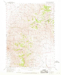
Editions of this 1959 Hinkey Summit Map
3 editions found

Other maps of this area

1882 · Paradise
USGS Topo · 1:250,000

1893 · Paradise
USGS Topo · 1:250,000

1945 · Hot Springs
USGS Topo · 1:62,500

1947 · Hot Springs Peak
USGS Topo · 1:62,500

1955 · McDermitt
USGS Topo · 1:250,000

1958 · Paradise Valley
USGS Topo · 1:62,500

1958 · Awakening Peak
USGS Topo · 1:62,500

1959 · McDermitt
USGS Topo · 1:250,000

1959 · Orovada
USGS Topo · 1:62,500

1959 · McDermitt
USGS Topo · 1:62,500