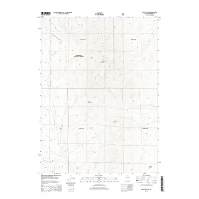
2015 Map of Capitol Peak
USGS Topo · Published 2015About this map
Capitol Peak rises as a prominent landmark within this corner of the Humboldt National Forest, overlooking a high-altitude landscape defined by drainages and interior basins. The northern portion is marked by the Stewart Basin and the headwaters of Laca Cr, while the central terrain is dominated by the Calico Mountains and the strategic Mahogany Pass. This 2015 survey reveals an arid hydrology where seasonal water management is critical, evidenced by the N Mahogany Reservoir and S Mahogany Reservoir. To the south and east, the elevation drops toward the Owyhee Desert and the winding course of the Little Owyhee River. The presence of Goosey Lake Flat and the N Fork Little Humboldt River in the southwest suggests the complex seasonal flow patterns typical of the Great Basin's high desert environment.
Find a feature on this map
24 named features on this map. Tap any name to fly to it.
Don’t see what you’re looking for? This feature index may not catch every label — zoom into the map to look around manually.
Map Details
Editions of this 2015 Capitol Peak Map
This is the sole edition of this map. No revisions or reprints were ever made.
Other maps of this area

1882 · Paradise
USGS Topo · 1:250,000

1893 · Paradise
USGS Topo · 1:250,000

1955 · McDermitt
USGS Topo · 1:250,000

1959 · McDermitt
USGS Topo · 1:250,000

1980 · Odell Mountain
USGS Topo · 1:24,000

1980 · Calico Butte
USGS Topo · 1:24,000

1980 · Capitol Peak
USGS Topo · 1:24,000

1980 · Mahogany Spring
USGS Topo · 1:24,000

1980 · Black Ridge
USGS Topo · 1:24,000

1980 · Greeley Flat
USGS Topo · 1:24,000