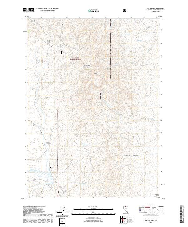
2021 Map of Capitol Peak
USGS Topo · Published 2021About this map
Capitol Peak dominates the high desert terrain of the Humboldt National Forest in this remote section of northern Nevada. The landscape is defined by its complex drainage network, where seasonal creeks and springs feed larger systems like the Little Owyhee River and the North Fork Little Humboldt River. High-altitude features such as Mahogany Pass and the Calico Mountains provided critical landmarks for early travelers and ranching operations. Human activity is evidenced by a sparse network of mountain routes, including Laca Cabin Road and Quinn Ridge, which navigate the steep topography between Stewart Basin and the expansive Owyhee Desert. Strategically placed water catchments like North Mahogany Reservoir and South Mahogany Reservoir reflect the region's long-standing reliance on managed water sources for survival in an arid environment.
Find a feature on this map
27 named features on this map. Tap any name to fly to it.
Don’t see what you’re looking for? This feature index may not catch every label — zoom into the map to look around manually.
Map Details
Editions of this 2021 Capitol Peak Map
This is the sole edition of this map. No revisions or reprints were ever made.
Other maps of this area

1882 · Paradise
USGS Topo · 1:250,000

1893 · Paradise
USGS Topo · 1:250,000

1955 · McDermitt
USGS Topo · 1:250,000

1959 · McDermitt
USGS Topo · 1:250,000

1980 · Odell Mountain
USGS Topo · 1:24,000

1980 · Calico Butte
USGS Topo · 1:24,000

1980 · Capitol Peak
USGS Topo · 1:24,000

1980 · Mahogany Spring
USGS Topo · 1:24,000

1980 · Black Ridge
USGS Topo · 1:24,000

1980 · Greeley Flat
USGS Topo · 1:24,000